Men’s course record
2:13:43
Yuki Kawauchi · 2014
- Average pace
- 3:10 / km
- Terrain-adjusted
- +0.48 %
Europe15
Americas8
Oceania4
Asia3
Africa1
Europe4
Oceania3
Americas2
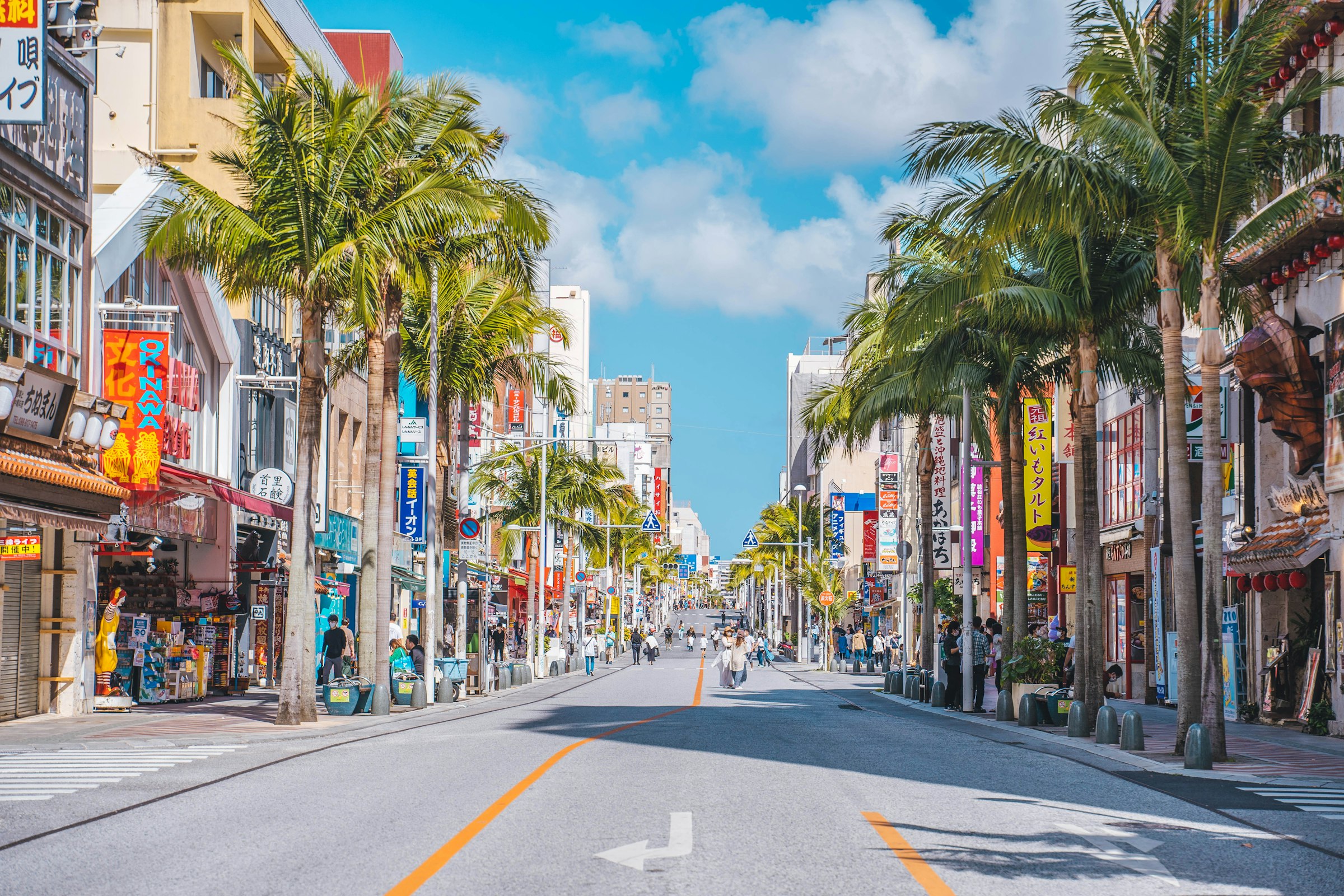
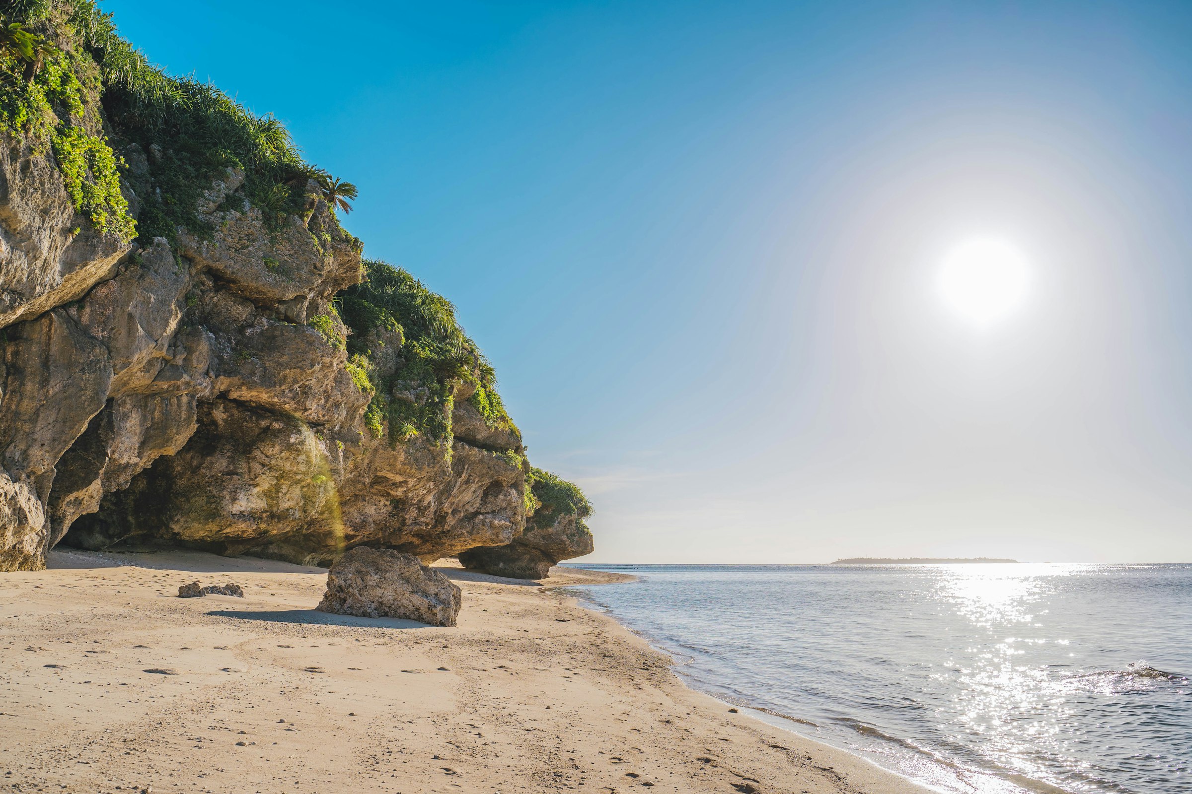
Naha, Japan The first Sunday in December Founded 1985
Out of Naha through the hills of southern Okinawa to the Peace Memorial Park, and back along the low ground by the coast, in December warmth.
Marathon Course · every marathon course, measured the same way
Naha Marathon
Out of Naha through the hills of southern Okinawa to the Peace Memorial Park, and back along the low ground by the coast, in December warmth. Route 58 by the Meiji Bridge → Onoyama Athletics Stadium, Naha, Okinawa, Japan.
Elevation · measured on the organiser's certified course map · GSI (1 m lidar where available) · smoothed 100 m 2–101 m
—
0.08.517.025.634.142.6
kmmi — elev — grade — hover or drag the profile
The first 9.0 km are flat, in Naha close to sea level. From about 10.0 km the course climbs into the hills of Haebaru and Yaese and rolls. Its biggest climb is on Route 331, 36 m in a kilometre, to the high point of 101 m at about 20.3 km, and it drops straight off it into the Peace Memorial Park, 40 m in a kilometre. About three-quarters of the climbing comes before halfway, and from about 30.0 km to 36.0 km the course runs barely above sea level. Add up the energy cost of every gradient and, for a three-hour runner, the course comes out about 54 seconds slower than a flat 42.195 km (0.48 %).
Take it with you
Course GPX Organiser's course map
The GPX is ours: our resampled line, a point every 25 m, carrying GSI (1 m lidar where available) elevation rather than the GPS noise a watch file usually holds.
GSI (1 m lidar where available), measured on the organiser's certified course map, smoothed 100 m · marathoncourse.com/marathons/naha/ · checked 2026-10-19
1990200020102020
Pace is derived from the certified distance. Terrain-adjusted figures come from the same model that ranks every course on this site.
Men’s course record
2:13:43
Yuki Kawauchi · 2014
Women’s course record
2:35:52
Yoshiko Ichikawa · 2001
The morning, hour by hour
Cut-offs
The organiser's 2026 times; the advised-stop times are approximate. Those two are hard cut-offs. At five other points the organiser advises runners behind its pace to stop, and the roads reopen behind them; they're in the schedule. Buses pick up runners who drop out.
Race-day mean temperature, 1995-2025. Lime marks the hottest edition; the coldest and wettest carry a label only, so the colour still means one thing.
Yes, for a big city race. It climbs 288 m in all, and of the 29 courses compared here only Big Sur, Austin and Queenstown climb more. Most of it comes before halfway, on the way to the Peace Memorial Park.
GSI terrain model, sampled every 25 m, smoothed over 100 m.
Warm for December. Across 30 race days the median temperature during the race was 21.2 °C. In 2016 it reached 28 °C, and more than 60 runners were taken to hospital.
ERA5 climatology, 1995 to 2025; organiser's heat report.
The heat, the hills and the cut-offs. The limit is 6 hours 15 minutes, and there are hard cut-offs at halfway and at 34.3 km. In 2025, 70 % of starters finished.
Organiser race information and results.
No. The 30,000 places went within eleven days of entry opening on 1 July, and places can't be transferred.
Organiser news posts, July 2026.
¥11,000, or ¥9,000 for runners aged 65 and over or of high-school age. Overseas runners enter through RunJapan at the same price.
Organiser entry page, 2026.
Two are hard: 12:15pm at the Peace Memorial Park, 21.3 km in, and 2:10pm at 34.3 km. At five other points the organiser advises runners behind its pace to stop, and the finish closes at 3:15pm.
Organiser entry and course pages, 2026.
Yes. The organiser sets no limits on food offered by spectators, apart from alcohol. Runners registered with the Japan Association of Athletics Federations can be disqualified for taking it.
Organiser FAQ.
By Yui Rail monorail to Tsubogawa or Onoyama-kōen, a minute's walk from the start and finish. There's a temporary car park at the Naha Military Port, open from 5:00am, with free shuttles.
Organiser race information, 2026.
At the Okinawa Prefectural Budokan in Onoyama Park, on Saturday 5 December from 10:00am to 8:00pm, or on race morning from 6:00am.
Organiser race information, 2026.
It's a hard one: hills in the first half, warm weather and hard cut-offs, and in 2025 three starters in ten didn't finish. The crowds and the roadside food are the reward.
Organiser results; measured profile; ERA5 climatology.
The 2026 race is capped at 30,000 and sold out. In 2025, 23,859 started and 16,808 finished, 70 % of them, after 14,067 in 2024.
Organiser figures for the 2026 edition.
About 21.2 °C during a typical race: that's the median across 30 years, which have run from 16 °C to 25.4 °C. 4 of the 30 were wet.
ERA5 reanalysis for the race date, 1995-2025.
It comes from GSI (1 m lidar where available), sampled every 25 m along the course line and smoothed over 100 m. The raw-to-smoothed ratio here is 1.14. Around 1.3 means the model is reading the ground, not rooftops; above about 2.0 the total climb carries real noise, and the net change is the sturdier number.
0 missing samples · 2 bridge spans corrected.
| Fact | Source | Verified |
|---|---|---|
| Course line | The organiser's Google My Map, line "NAHAマラソン 平和祈念公園コース(日本陸連公認コース)", the certified course. It measures 42.73 km, 1.3 % long | 2026-10-19 |
| Elevation | GSI, the Geospatial Information Authority of Japan (1 m lidar where available), sampled every 25 m, smoothed over 100 m. Raw-to-smoothed gain ratio 1.14. The organiser publishes a profile but no climb figure; its chart puts the high point at about 88 m in the same place | 2026-10-19 |
| Race-day weather | ERA5 via Open-Meteo archive, the first Sunday in December 1995–2025 at the start, 09:00–15:00 local; 2020 excluded | 2026-10-19 |
| Records and results | The organiser's results for every edition, 1985 to 2025 | 2026-10-19 |
| Field | Organiser figures: entrants, starters and finishers by edition | 2026-10-19 |
| Date, start and entry | Organiser race information and entry pages, 2026, its news posts on entry in July 2026, and the 2025 edition page | 2026-10-19 |
| Cut-offs and race day | Organiser entry, course and FAQ pages, 2026 | 2026-10-19 |
| Heat | The organiser's medical and heat page, on the 2016 race and the measures since | 2026-10-19 |
| Spectator food | Number Web's report on the race, which names the brown sugar, salt, sata andagi and Okinawa soba | 2026-10-19 |
| Steepest-kilometre place names | OpenStreetMap via Nominatim reverse geocoding (ODbL) | 2026-10-19 |
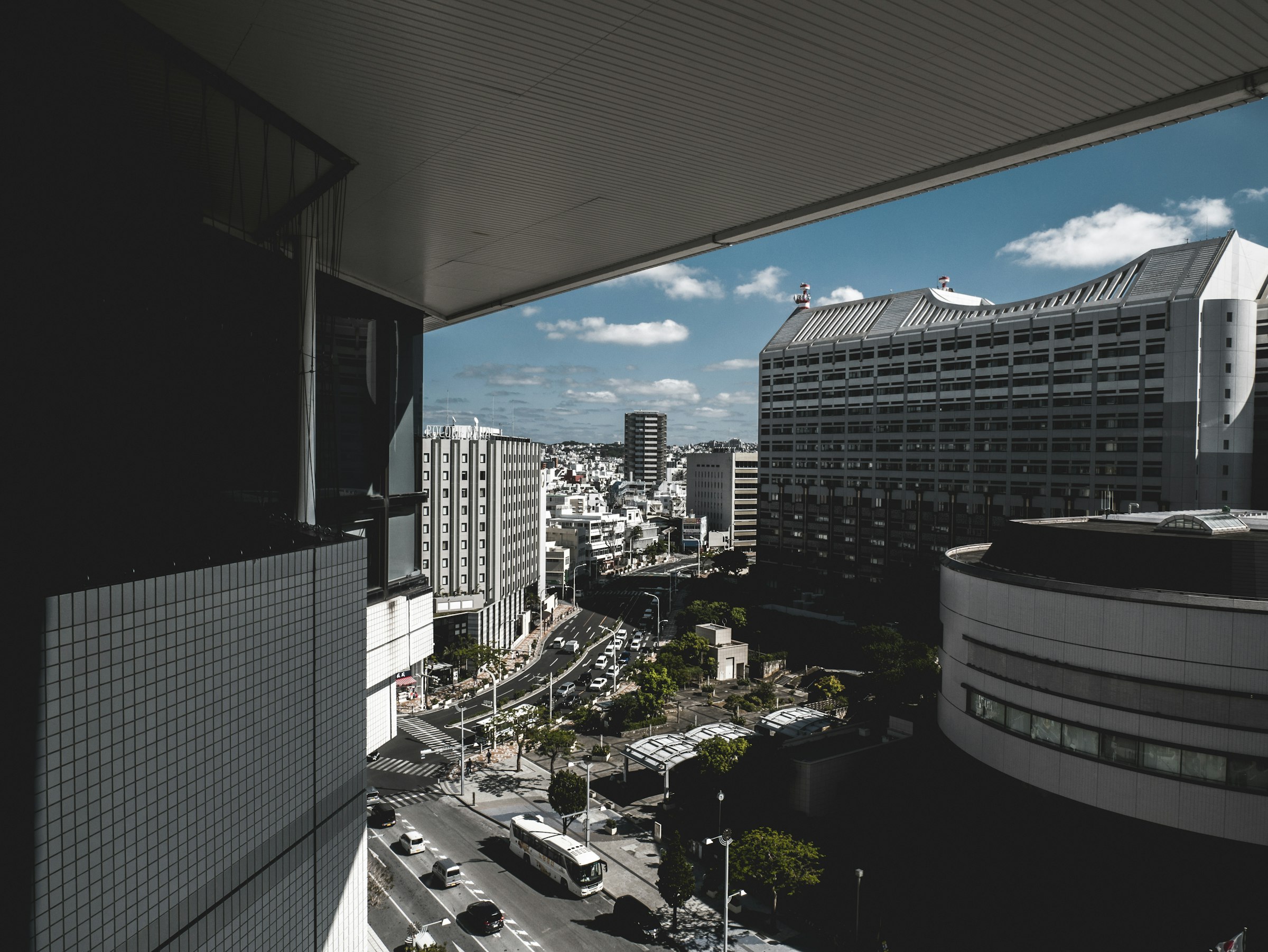
| Photography | Unsplash: Roméo A. (Kokusai-dōri; the south coast), Ramon Kagie (central Naha) | 2026-10-19 |
Until the Naha Marathon · 6 Dec 2026
— days
— hrs— min— sec
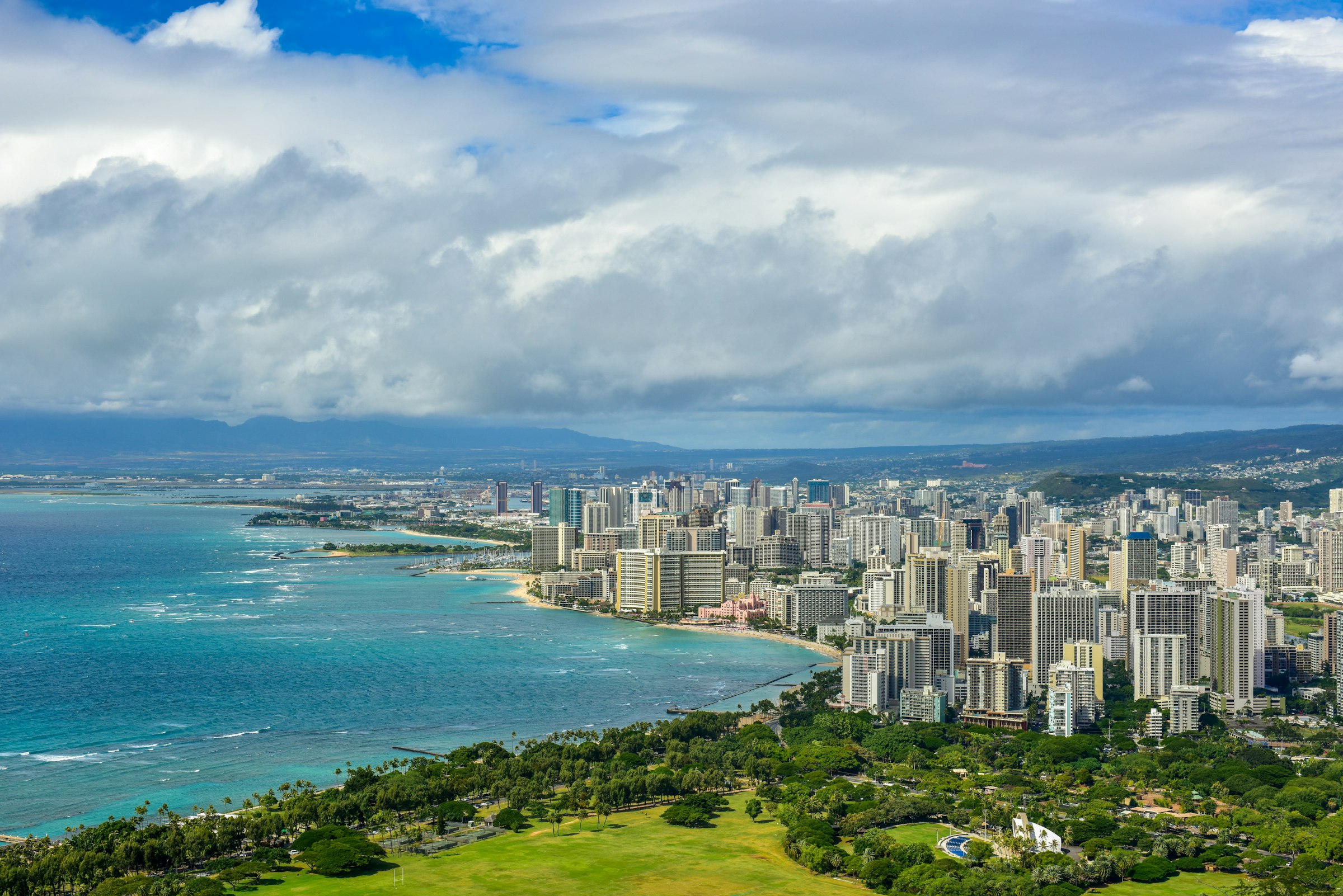
Honolulu, USA · 13 Dec 2026
A 5:00am start under fireworks, twice round Diamond Head, and a finish that stays open until the last runner is in.
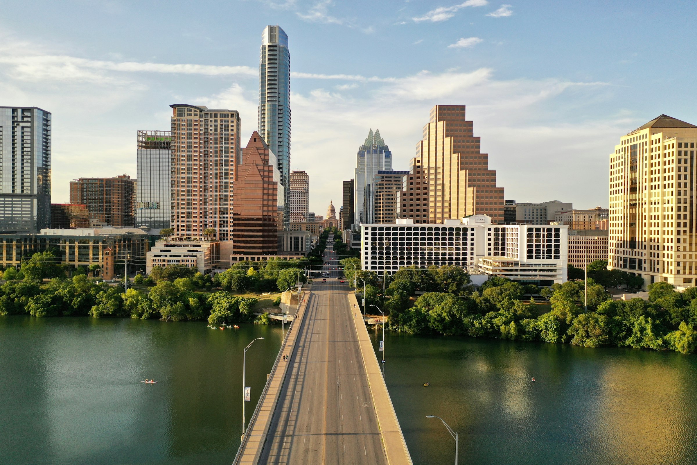
Austin, USA · 14 Feb 2027
A February marathon from the river up South Congress and out through the university and East Austin, finishing on Congress below the Capitol.
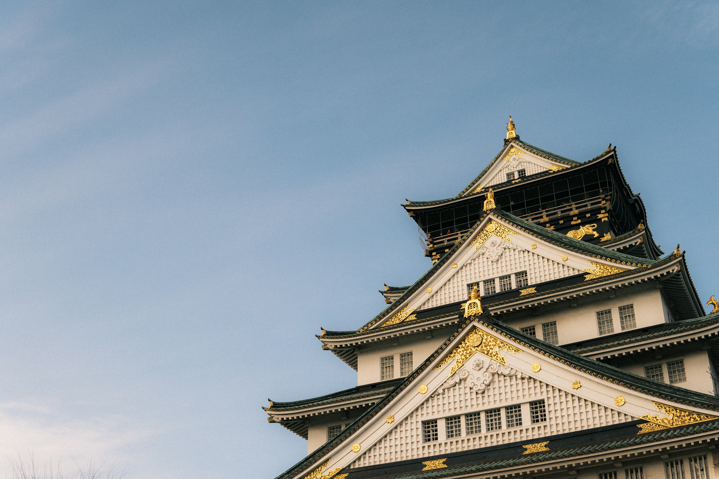
Osaka, Japan · 28 Feb 2027
Down Midosuji to the docks and back, with one short climb onto the plateau before the castle.