Men’s course record
2:17:43
Dale Warrander · 2006
- Average pace
- 3:16 / km
- Terrain-adjusted
- +0.42 %
Europe15
Americas8
Oceania4
Asia3
Africa1
Europe4
Oceania3
Americas2
Auckland, New Zealand The Sunday nearest 1 November, 1 November in 2026 Founded 1992
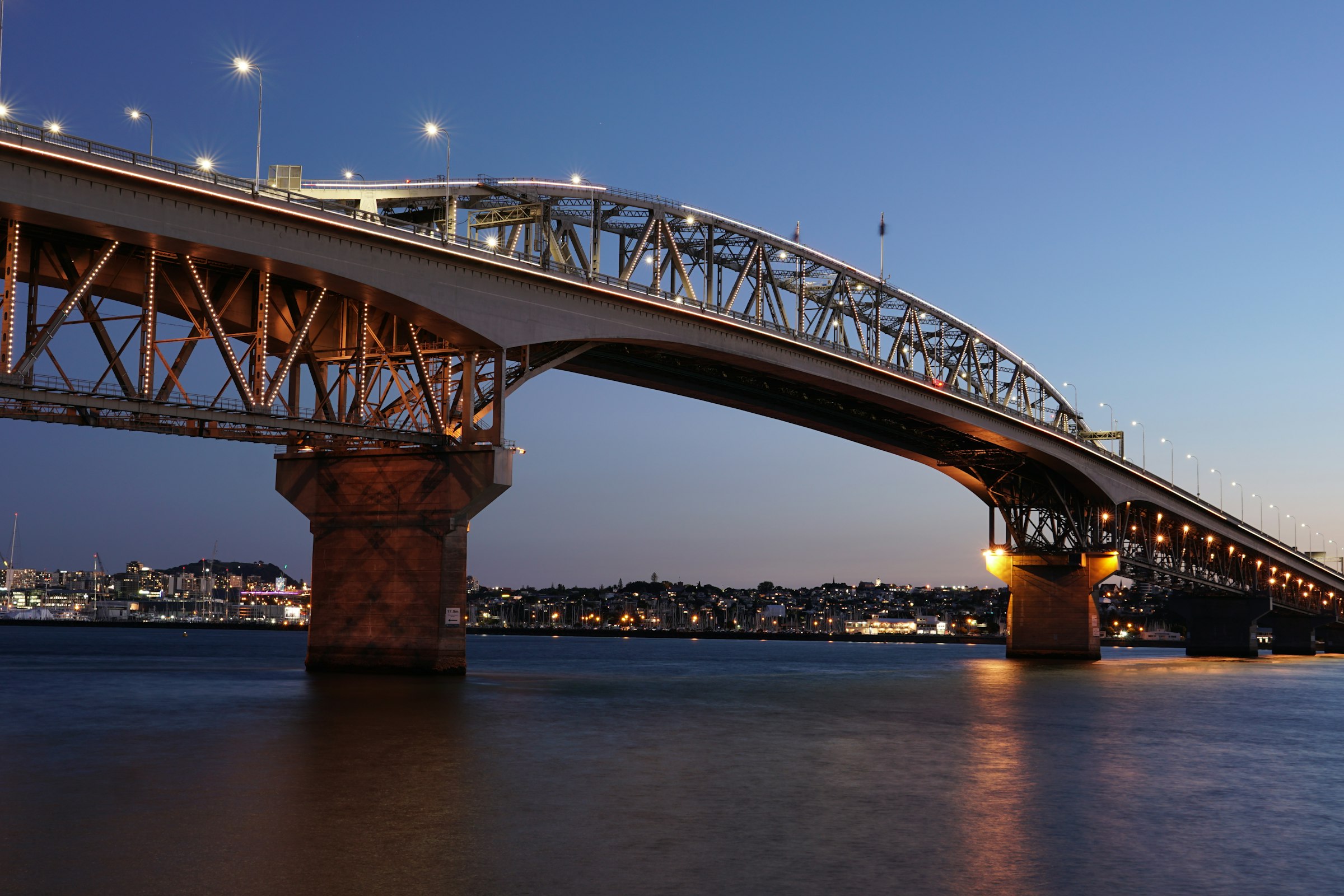
The Harbour Bridge on foot at 15 km, and a flat run along the bays to St Heliers and back after it.
Marathon Course · every marathon course, measured the same way
Auckland Marathon
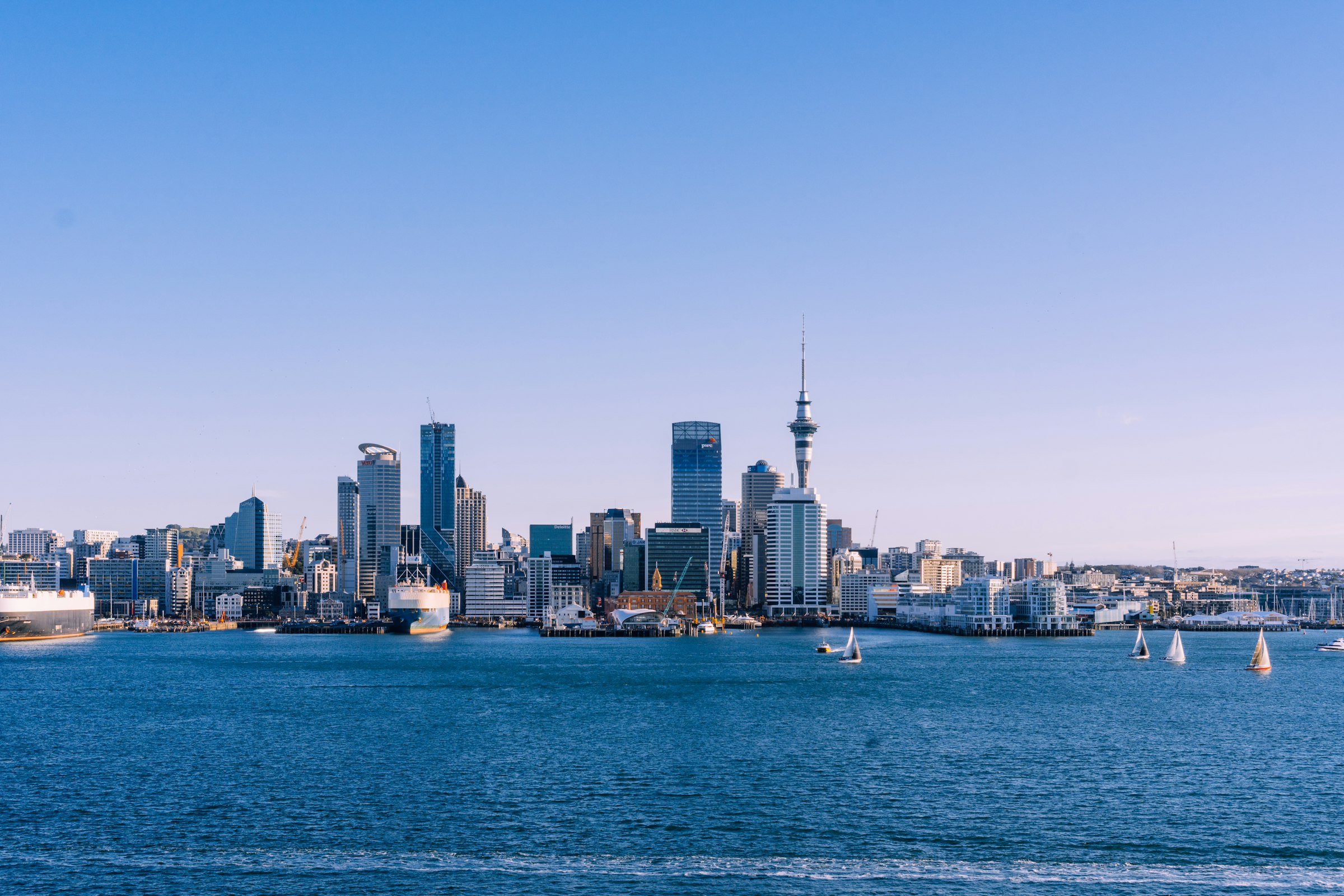
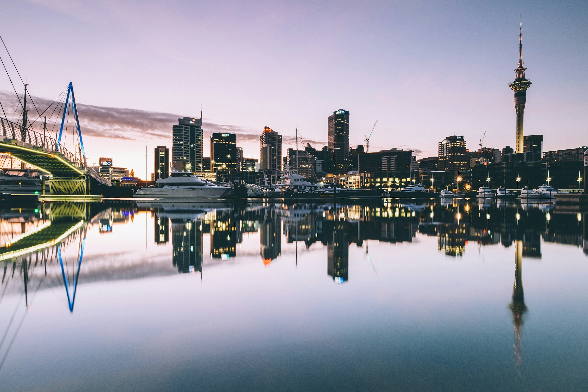
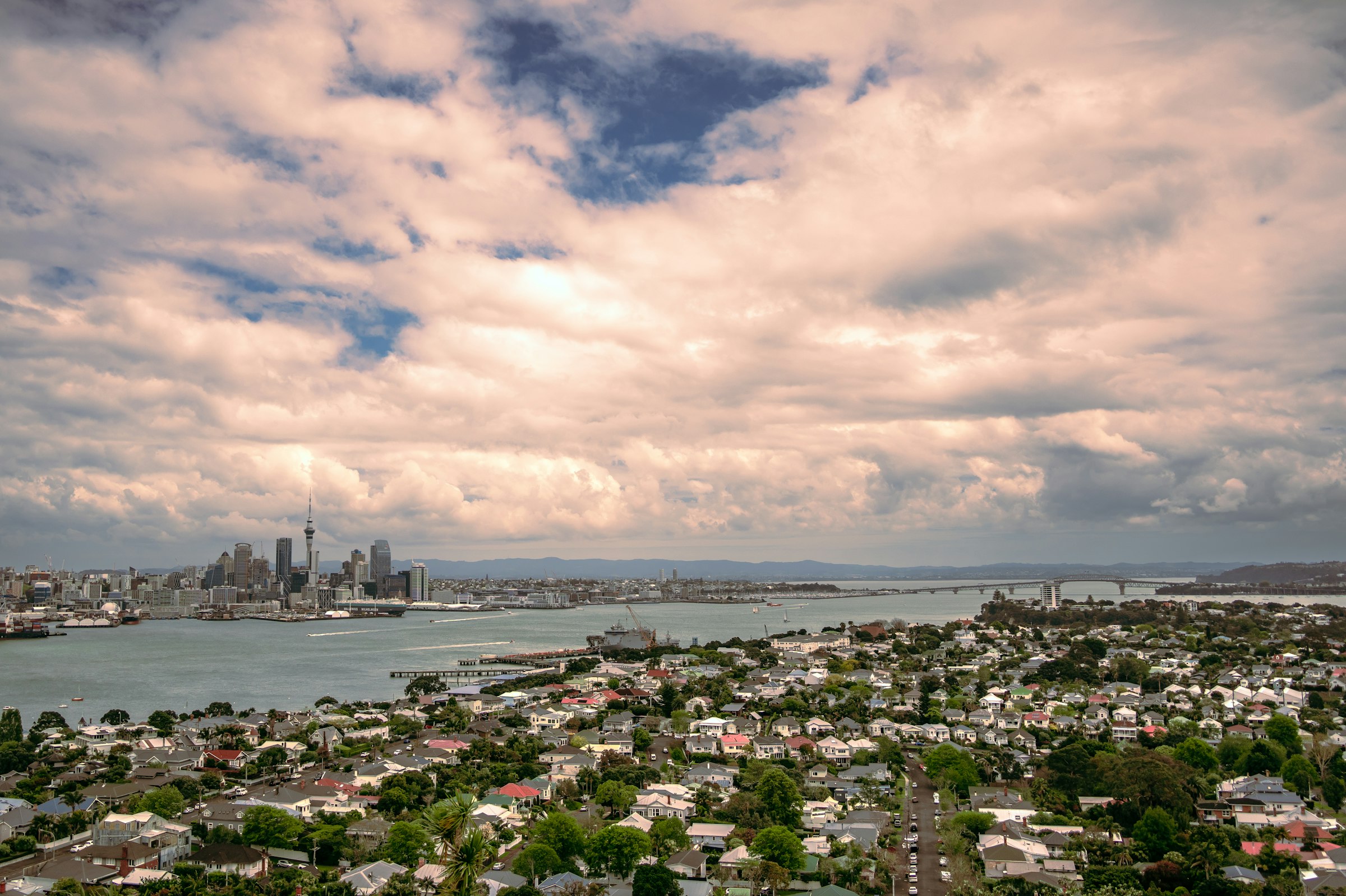
The Harbour Bridge on foot at 15 km, and a flat run along the bays to St Heliers and back after it. King Edward Parade, Devonport → Victoria Park, Auckland, New Zealand.
Elevation · measured on the organiser's 2026 course line · LINZ Auckland 1 m lidar DEM (2024) · smoothed 100 m 0–43 m
—
0.08.516.925.433.842.3
kmmi — elev — grade — hover or drag the profile
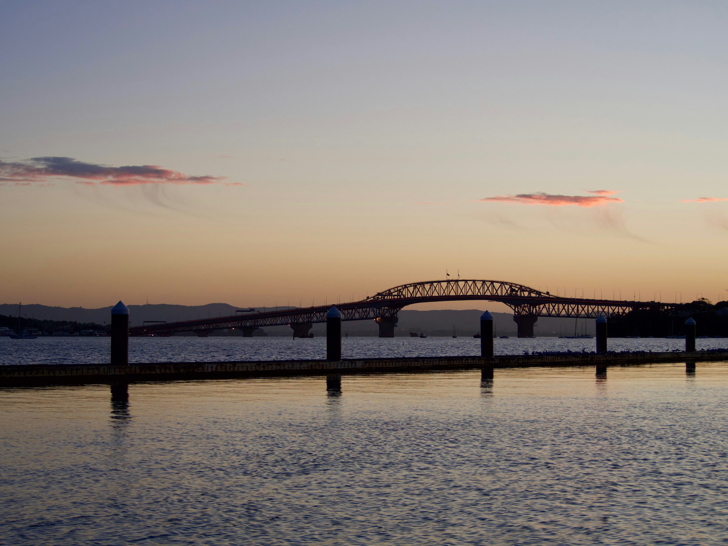
The first half does nearly all the climbing. Seacliffe Avenue out of Narrow Neck, around 3.0 km, is the steepest climbing kilometre at 21 m, and the North Shore keeps rolling through Takapuna. The biggest single climb is the bridge, about 40 m from the shore at 14.0 km to the top of the span. The way down comes in two drops, off the span and then down Curran Street into Westhaven. From 18.0 km to the finish the course never rises more than 9 m above the sea. Add up the energy cost of every gradient and, for a three-hour runner, the course comes out about 42 seconds slower than a flat 42.195 km (0.42 %).
Take it with you
Course GPX Organiser's course map
The GPX is ours: our resampled line, a point every 25 m, carrying LINZ Auckland 1 m lidar DEM (2024) elevation rather than the GPS noise a watch file usually holds.
LINZ Auckland 1 m lidar DEM (2024), measured on the organiser's 2026 course line, smoothed 100 m · marathoncourse.com/marathons/auckland/ · checked 2026-10-08
200020102020
Pace is derived from the certified distance. Terrain-adjusted figures come from the same model that ranks every course on this site.
Men’s course record
2:17:43
Dale Warrander · 2006
Women’s course record
2:38:10
Brigid Dennehy · 2025
The morning, hour by hour
Cut-offs
Times from the organiser's 2026 marathon page. Its event schedule, still based on 2025, lists later cut-offs at Smales Farm and Onewa Road, shared with the shorter races.
Race-day mean temperature, 1995-2025. Lime marks the hottest edition; the coldest and wettest carry a label only, so the colour still means one thing.
The first half is. It climbs 212 m in all, 180 m of it before halfway, on the North Shore and up the Harbour Bridge. From 18.0 km to the finish the course never rises more than 9 m above the sea.
LINZ 1 m lidar, sampled every 25 m, smoothed over 100 m; the bridge deck modelled from its 43.3 m clearance.
It climbs about 40 m from the North Shore to the top of the span, over roughly 1.8 km, an average of a little over 2 %. You're off it by about 16.5 km and down at Westhaven by 18.0 km.
Measured profile; bridge deck from Engineering New Zealand's heritage record.
No. Entry is open until it sells out or closes, at 2:00pm on Saturday 31 October 2026. The marathon was NZ$271 on 8 October, a limited tier, and the price goes up once it's gone.
Organiser entry page, checked 2026-10-08.
Seven hours: the marathon starts at 6:00am and the course closes at 1:00pm. There are six intermediate cut-offs, the first at Smales Farm, 10.0 km, at 7:45am. Runners still on the Harbour Bridge at 10:10am are taken off it.
Organiser marathon page, 2026.
On the organiser's chartered ferries or buses, which you book in advance through your registration. Nothing is sold on race day. Marathon ferries leave downtown between 4:00 and 4:45am for NZ$15, and being dropped off isn't recommended because of the road closures.
Organiser transport page, 2026.
No. The organiser doesn't offer deferrals. Until 30 October you can switch distance, paying the difference if the new one costs more, or transfer your entry to a friend for NZ$27. Partial refunds ended on 20 September.
Organiser FAQ and entry page, checked 2026-10-08.
Not by its records. The men's record of 2:17:43 has stood since 2006, and the 2024 women's winner, Brigid Dennehy, called Auckland a pretty tough course. The second half is flat, so the time is made or lost on the North Shore.
Organiser records and race reports.
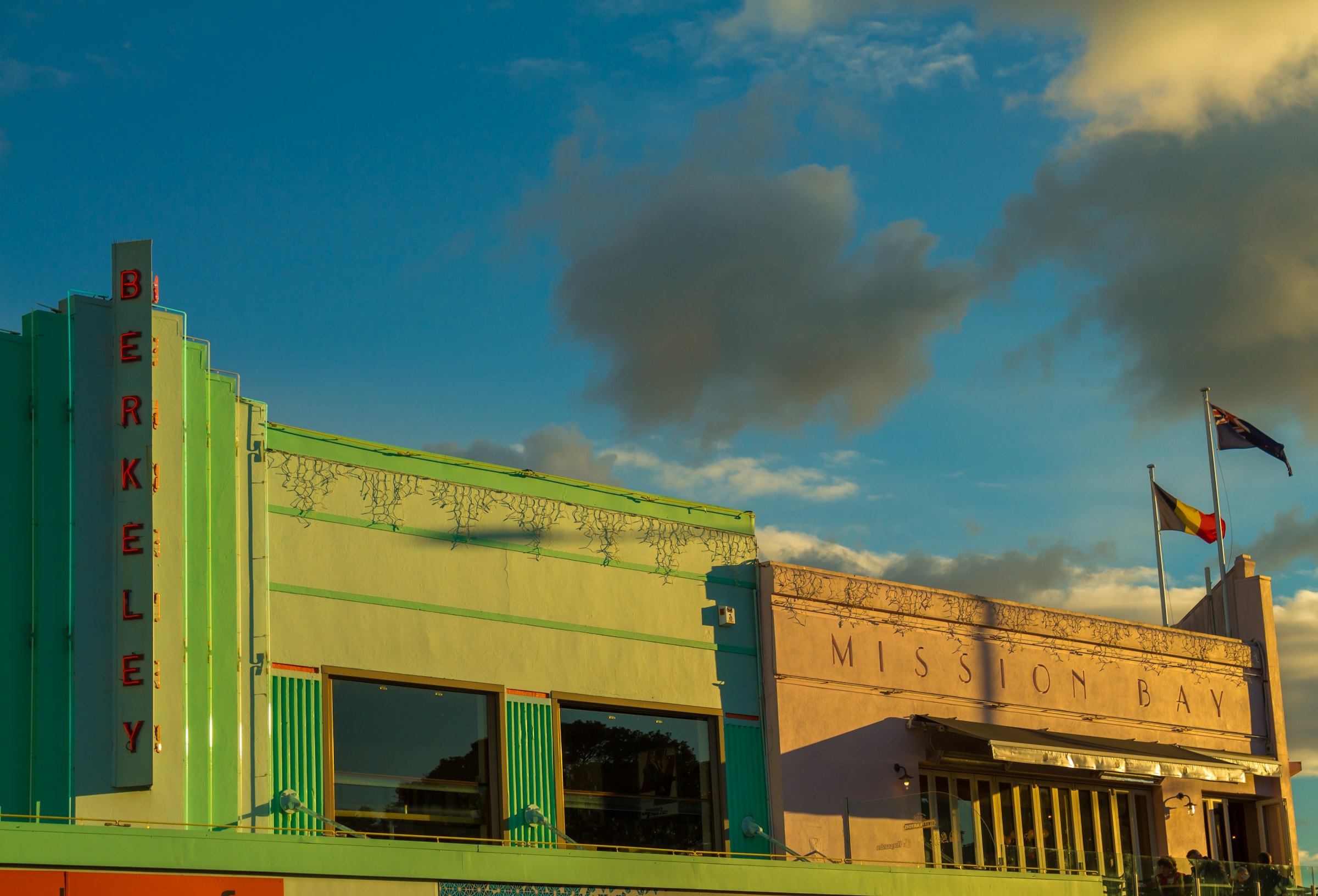
The organiser's spectator map marks King Edward Parade in Devonport, Akoranga bus station, Ōrākei Domain and St Heliers, and the finish is in Victoria Park. Tamaki Drive is the easy one, since the course passes Mission Bay twice, at about 29.0 km and 34.0 km.
Organiser course map, 2026.
Open entry and a seven-hour limit make it a reasonable one. The catches are the hour, with a ferry or bus to the start around 5am, and the climbing, which all comes in the first half, when it's easiest to go too fast.
Organiser race information; measured profile.
2,776 finished the marathon in 2025, up from 2,439 in 2024. Across all five distances the organiser counted more than 17,000 registered runners and walkers.
Organiser figures for the 2025 edition.
About 15.7 °C during a typical race: that's the median across 31 years, which have run from 12.3 °C to 18.2 °C. 3 of the 31 were wet.
ERA5 reanalysis for the race date, 1995-2025.
On net drop, yes. The course finishes 1 m above its start, nowhere near the 1,500 ft at which the B.A.A. starts adjusting times for 2027 qualifying, so a time run here counts at face value. The B.A.A. also needs the course certified by AIMS or the national federation. The organiser says Auckland is AIMS-certified, but the link to its certificate was broken when this page was checked, so confirm with the organiser before planning a qualifying attempt here.
Net drop +1 m from this site's course line; 2027 adjustment None. Certification certified: AIMS-certified, according to the organiser; the certificate itself wasn't viewable on 8 October 2026.
It comes from LINZ Auckland 1 m lidar DEM (2024), sampled every 25 m along the course line and smoothed over 100 m. The raw-to-smoothed ratio here is 1.25. Around 1.3 means the model is reading the ground, not rooftops; above about 2.0 the total climb carries real noise, and the net change is the sturdier number.
72 missing samples · 6 bridge spans corrected.
| Fact | Source | Verified |
|---|---|---|
| Course line | Organiser's 2026 course map (Google My Maps, layer "Marathon - Route"), 603 points, 42.45 km | 2026-10-08 |
| Elevation | LINZ Auckland 1 m lidar DEM (2024), CC BY 4.0, bridges corrected | 2026-10-08 |
| Harbour Bridge deck | Engineering New Zealand heritage record: navigation span 243.8 m, 43.3 m clearance at high water, used as the deck height | 2026-10-08 |
| Race-day weather | ERA5 via Open-Meteo archive | 2026-10-08 |
| Course records | Organiser results and records page; the 2025 race report for the women's record | 2026-10-08 |
| Field size | Marathon finishers counted from the 2024 and 2025 results; all-distance registrations from the organiser's 2025 race report | 2026-10-08 |
| Race date, start, cut-offs and aid stations | Organiser marathon page, 2026; the start time is marked as based on 2025 and subject to change | 2026-10-08 |
| Entry fees and close | Organiser entry page, 2026 | 2026-10-08 |
| Start transport | Organiser transport page: chartered ferries and buses, booked in advance | 2026-10-08 |
| History and timeline | Organiser: "Facts and Figures from 30 Years" and "1992 Origin Story" | 2026-10-08 |
| Course certification | AIMS-certified according to the organiser; its certificate link was broken on this date | 2026-10-08 |
| Steepest-kilometre place names | OpenStreetMap via Nominatim reverse geocoding (ODbL) | 2026-10-08 |
| Photography | Unsplash: Daniel Wang (Harbour Bridge), Sulthan Auliya (skyline), Dan Freeman (Viaduct), Andreia Costa (Mission Bay), Josh Tere (Devonport), Raquel Moss (Westhaven) | 2026-10-08 |
Until the Auckland Marathon · 1 Nov 2026
— days
— hrs— min— sec
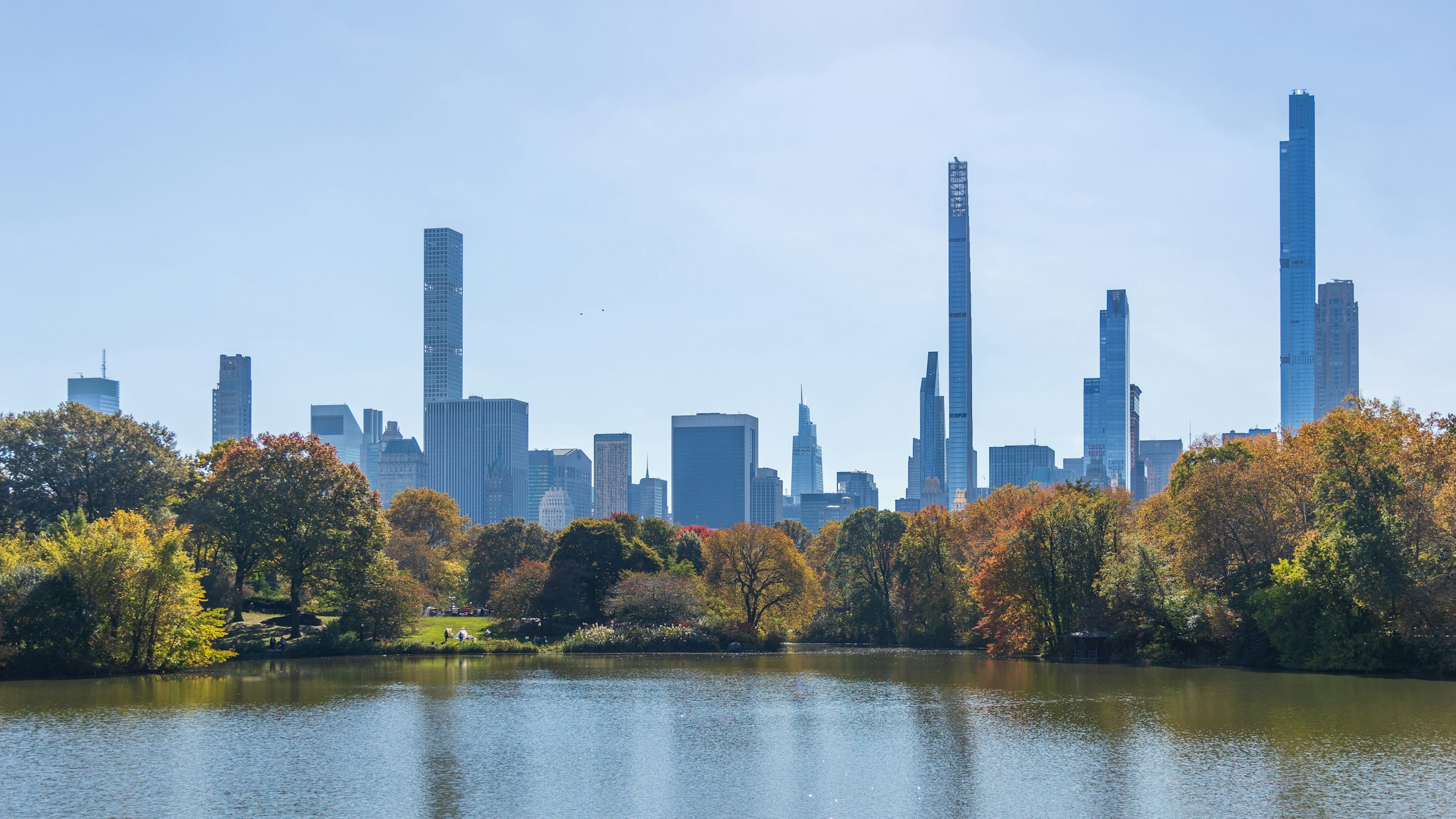
New York, USA · 1 Nov 2026
Five boroughs and five bridges, from the Verrazzano to Central Park.
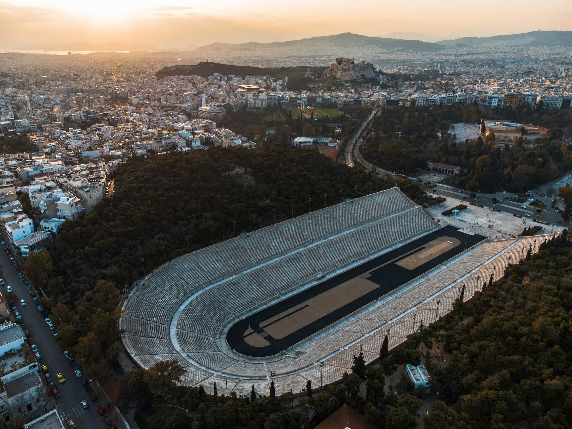
Athens, Greece · 8 Nov 2026
Round the burial mound at Marathon, south through Nea Makri, then a long climb inland and down into Athens to finish in the marble stadium of 1896.
Queenstown, New Zealand · 14 Nov 2026
Seventy percent hard-packed trail, between the Crown Range and the Remarkables, and no ballot to get in.