Men’s course record
2:07:35
Tsegay Weldlibanos · 2024
- Average pace
- 3:01 / km
- Terrain-adjusted
- −0.88 %
Europe15
Americas8
Oceania4
Asia3
Africa1
Europe4
Oceania3
Americas2
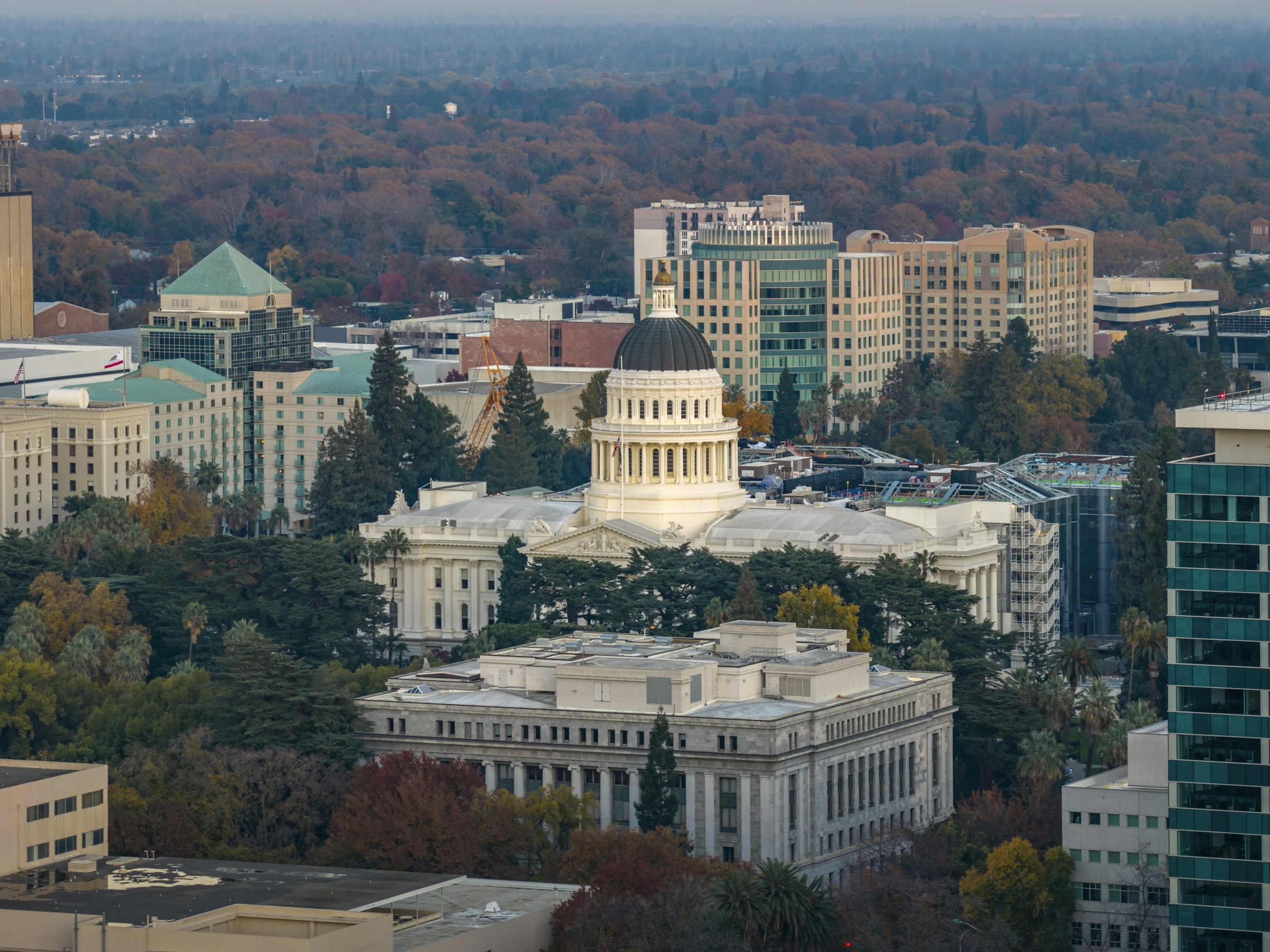
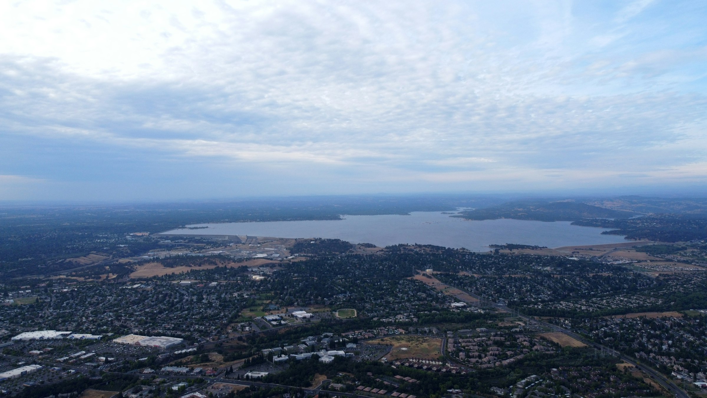
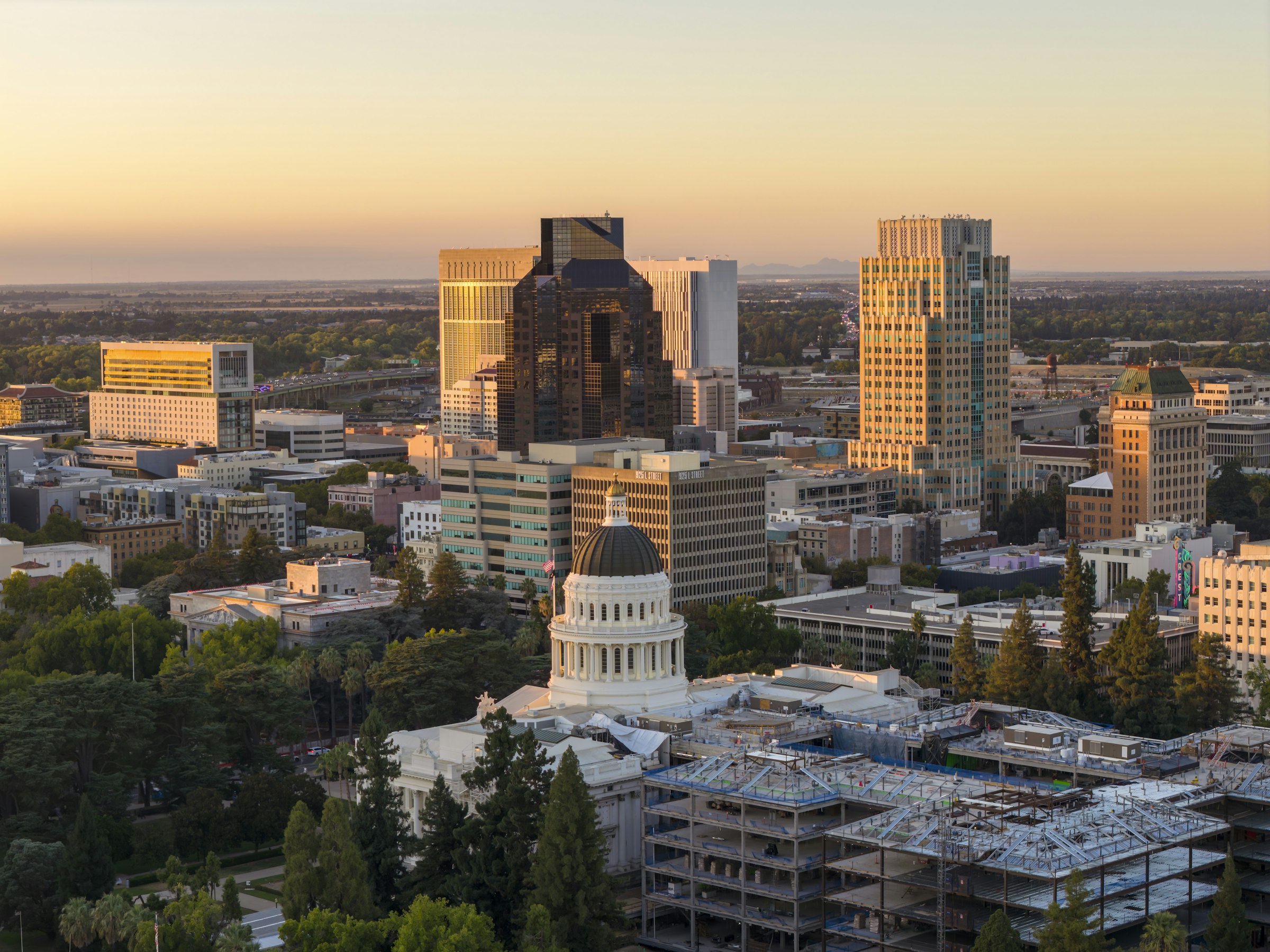
Sacramento, USA The Sunday nearest 5 December, 6 December in 2026 Founded 1983
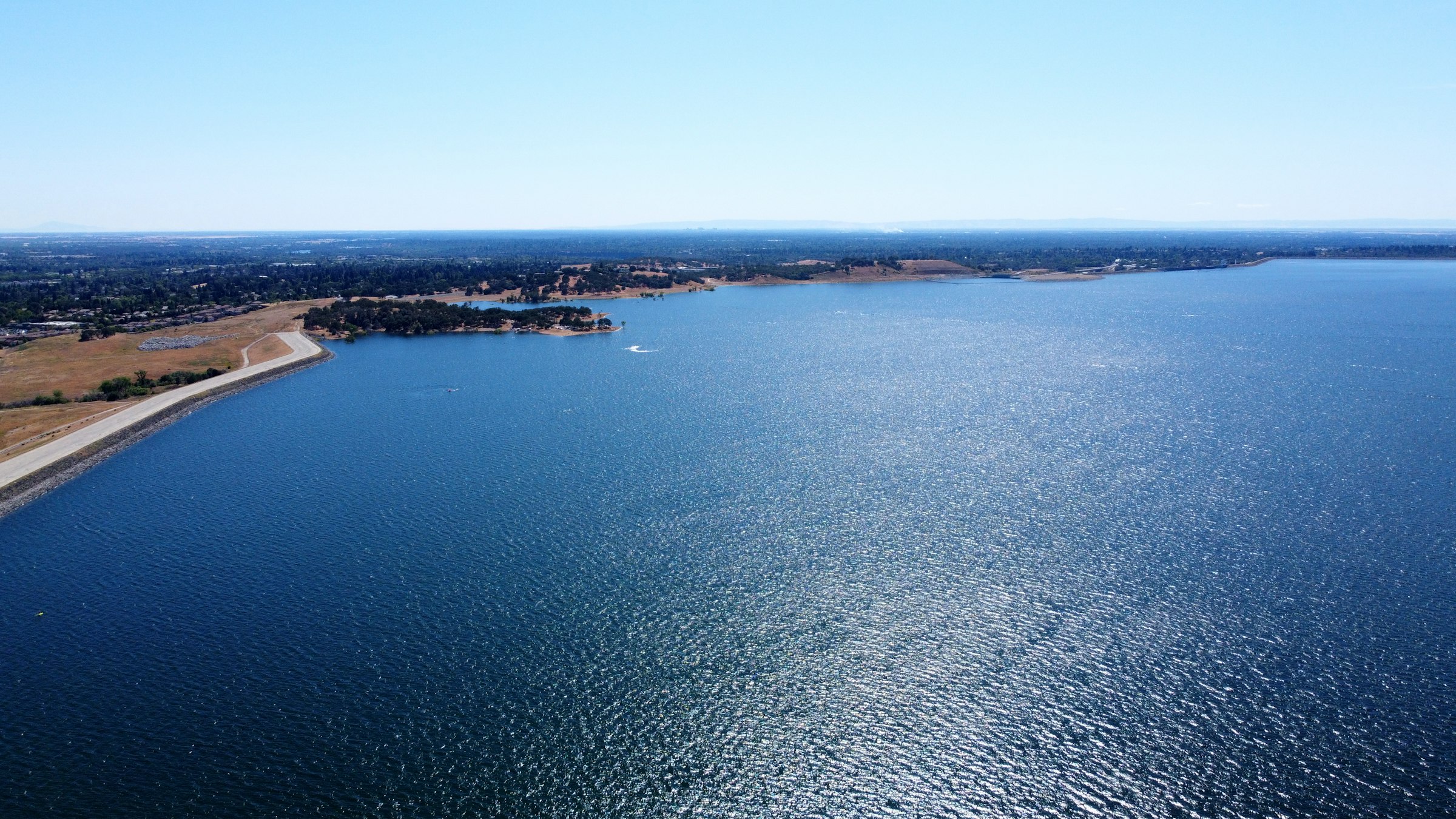
Point to point from Folsom Dam to the State Capitol in December, rolling for the first half and nearly level for the last eight kilometres.
Marathon Course · every marathon course, measured the same way
California International Marathon
Point to point from Folsom Dam to the State Capitol in December, rolling for the first half and nearly level for the last eight kilometres. Folsom Dam, Folsom → Capitol Mall, Sacramento, California, USA.
Elevation · measured on the organiser's course map · USGS NED 10 m · smoothed 100 m 6–110 m
—
0.08.516.925.433.842.3
kmmi — elev — grade — hover or drag the profile
The start, beside Folsom Dam, is the highest point on the course at 110 m, and the first 6.0 km lose 47 m of it. After that the road rolls. Just past Fair Oaks village, Fair Oaks Boulevard drops 21 m into a valley, the steepest descending kilometre, and climbs 13 m straight back out, the steepest climbing one. About three-quarters of the 223 m of climbing comes before halfway. From the H Street Bridge at 34.8 km to the finish there's only 11 m more. Add up the energy cost of every gradient and, for a three-hour runner, the course comes out about 1.6 min quicker than a flat 42.195 km (0.88 %).
Take it with you
Course GPX Organiser's course map
The GPX is ours: our resampled line, a point every 25 m, carrying USGS NED 10 m elevation rather than the GPS noise a watch file usually holds.
USGS NED 10 m, measured on the organiser's course map, smoothed 100 m · marathoncourse.com/marathons/cim/ · checked 2026-10-14
1990200020102020
Pace is derived from the certified distance. Terrain-adjusted figures come from the same model that ranks every course on this site.
Men’s course record
2:07:35
Tsegay Weldlibanos · 2024
Women’s course record
2:24:09
Molly Born · 2025
The morning, hour by hour
There are no intermediate cut-offs. Sweep runners leave the start at 7:30am at 13:44 a mile, about 8:32 a kilometre, and the roads reopen behind them. The finish closes at 1:30pm.
Race-day mean temperature, 1995-2025. Lime marks the hottest edition; the coldest and wettest carry a label only, so the colour still means one thing.
On balance, yes. The finish is 104 m below the start, and of the 29 courses compared here only Boston drops further. It isn't all downhill, though: there's 223 m of climbing, three-quarters of it in the first half.
USGS 10 m elevation model, sampled every 25 m, smoothed over 100 m. The organiser gives 366 ft for the drop.
Yes, with no adjustment. The B.A.A. adds time only on courses that drop 1,500 ft or more, and the organiser's own figure for CIM is 366 ft. About 30 % of finishers ran a qualifying time in 2025.
B.A.A. qualifying rules; MarathonGuide 2025 results.
The records say so. Tsegay Weldlibanos ran 2:07:35 in 2024, Molly Born ran 2:24:09 in 2025, and three men broke 2:10 that same morning.
Race results, 2024 and 2025.
Not directly, because every tier has sold out. A Gold or Orange runner can transfer their place through Race Roster until 16 November, and the new runner pays US$230. The two-person relay has sold out too.
Organiser registration and transfer pages, checked 2026-10-14.
Six hours. Sweep runners leave the start at 7:30am at 13:44 a mile, the roads reopen behind them, and the finish closes at 1:30pm. There are no intermediate cut-offs.
Organiser FAQ, 2026.
Cold at the start and usually dry. Over 30 race mornings the median temperature was 8.6 °C, and seven had a millimetre of rain or more. 2013 started below freezing.
ERA5 race-morning climatology, 1995 to 2025, without 2020.
On the free race buses, with your bib as the ticket. There's no parking or drop-off at the start. The last bus leaves downtown at 4:30am, and the latest of all, a drop-off shuttle from Granite Bay, leaves at 6:15.
Organiser race transportation page, 2026.
It depends on the tier. Gold places can be transferred or deferred to 2027, Orange places can only be transferred, and Blue places can't be changed. Transfers close on 16 November, and there are no refunds.
Organiser transfers and deferrals page.
Not at the start, which is closed to spectators. Fair Oaks village at about mile 10, Carmichael Park at mile 14 and the H Street Bridge at mile 21.5 are on the organiser's list. The finish on Capitol Mall has bleachers near 7th Street.
Organiser spectator page, 2025.
It's an easy one to pace well. The second half is gentler than the first, the morning is cool and the limit is six hours. Getting in is the hard part: 2026 sold out.
Organiser race information; measured profile; ERA5 climatology.
8,176 finished the marathon in 2025, down from 8,356 in 2024 and 9,183 in 2023.
Organiser figures for the 2025 edition.
About 8.6 °C during a typical race: that's the median across 30 years, which have run from 0.3 °C to 13.8 °C. 7 of the 30 were wet.
ERA5 reanalysis for the race date, 1995-2025.
Yes, at face value. The B.A.A. adds time only on courses that drop 1,500 ft or more, and CIM's finish is 104 m below its start. In 2025 about 30 % of finishers ran a qualifying time. The course is certified by USATF, which the B.A.A. also requires.
Net drop −104 m from this site's course line; 2027 adjustment None. Certification certified: Certified by USATF and a Boston qualifier. Not eligible for records: it drops too far, and finishes too far from its start, for World Athletics.
It comes from USGS NED 10 m, sampled every 25 m along the course line and smoothed over 100 m. The raw-to-smoothed ratio here is 1.28. Around 1.3 means the model is reading the ground, not rooftops; above about 2.0 the total climb carries real noise, and the net change is the sturdier number.
0 missing samples · 1 bridge spans corrected.
| Fact | Source | Verified |
|---|---|---|
| Course line | The organiser's Google My Map, drawn finish to start and reversed. All 26 mile markers on the map sit on the line, which measures 42.35 km, 0.4 % long | 2026-10-14 |
| Elevation | USGS NED 10 m via OpenTopoData; the H Street Bridge interpolated between its banks. The organiser gives the drop as 366 ft; the start and finish heights here put it at 340 ft | 2026-10-14 |
| Race-day weather | ERA5 via Open-Meteo archive | 2026-10-14 |
| Course records | Race results and reports; the organiser's records page hasn't been updated for 2025 | 2026-10-14 |
| Field size | Marathon finishers from MarathonGuide's results, 2023 to 2025 | 2026-10-14 |
| Race date and start | Organiser start-line and FAQ pages, 2026 | 2026-10-14 |
| Cut-off | Organiser FAQ, 2026 | 2026-10-14 |
| Aid stations | Organiser course and aid stations page, 2026 | 2026-10-14 |
| Entry | Organiser registration page, 2026 | 2026-10-14 |
| Refunds and transfers | Organiser transfers and deferrals page | 2026-10-14 |
| Transport | Organiser race transportation page, 2026 | 2026-10-14 |
| History and timeline | Sacramento Running Association's 40th-edition archive and race reports | 2026-10-14 |
| Boston qualifying | B.A.A. qualifying rules; 2025 qualifying rate from MarathonGuide | 2026-10-14 |
| Steepest-kilometre place names | OpenStreetMap via Nominatim reverse geocoding (ODbL) | 2026-10-14 |
| Photography | Unsplash: Leo_Visions (the Capitol in autumn; downtown at sunset; Capitol Park), Zalman Grossbaum (Folsom Lake, twice), Oscar Ochoa (the Capitol's west front) | 2026-10-14 |
| Relay | Sacramento Running Association relay registration page: sold out for 2026 | 2026-10-14 |
Until the California International Marathon · 6 Dec 2026
— days
— hrs— min— sec
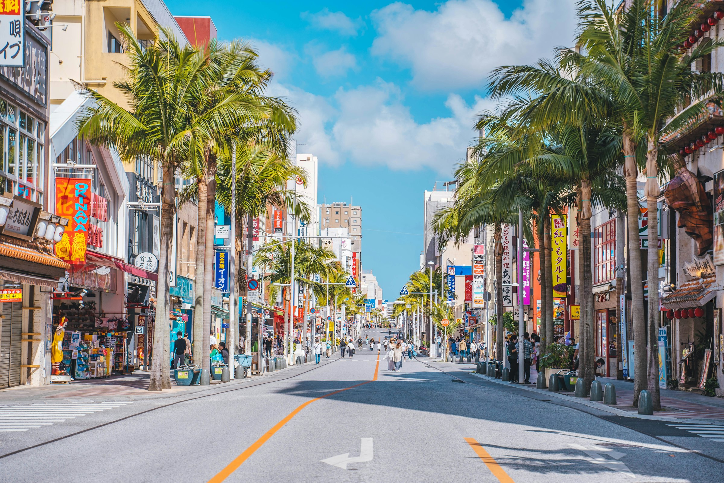
Naha, Japan · 6 Dec 2026
Out of Naha through the hills of southern Okinawa to the Peace Memorial Park, and back along the low ground by the coast, in December warmth.
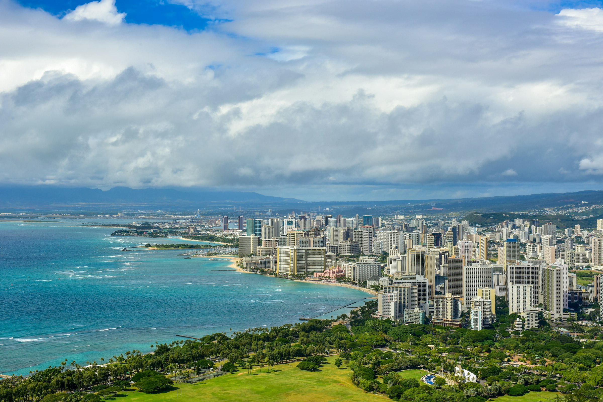
Honolulu, USA · 13 Dec 2026
A 5:00am start under fireworks, twice round Diamond Head, and a finish that stays open until the last runner is in.
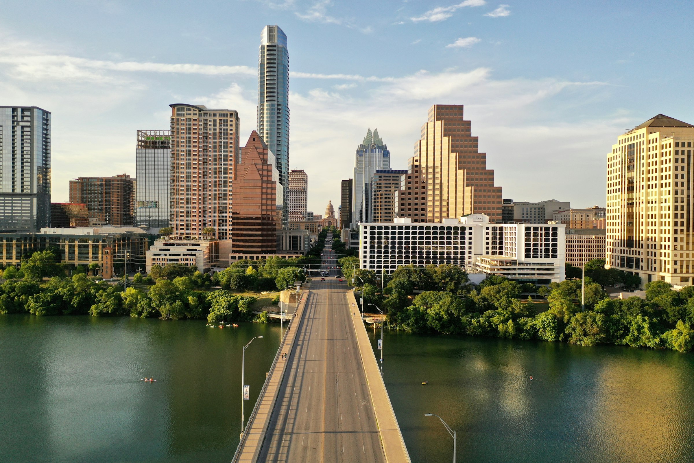
Austin, USA · 14 Feb 2027
A February marathon from the river up South Congress and out through the university and East Austin, finishing on Congress below the Capitol.