Men’s course record
2:13:18
Joey Whelan · 2026
- Average pace
- 3:10 / km
- Terrain-adjusted
- +0.79 %
Europe15
Americas8
Oceania4
Asia3
Africa1
Europe4
Oceania3
Americas2
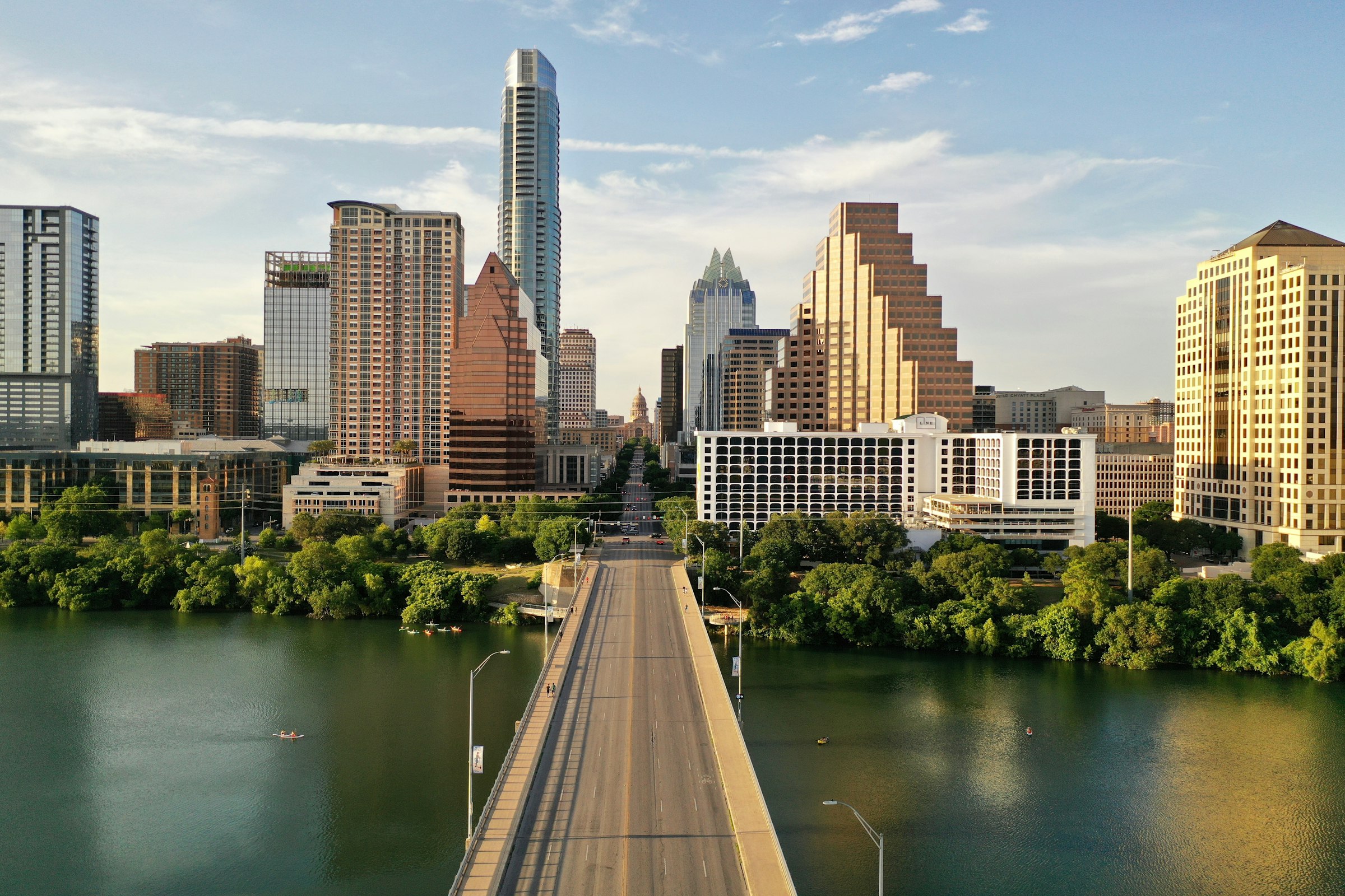
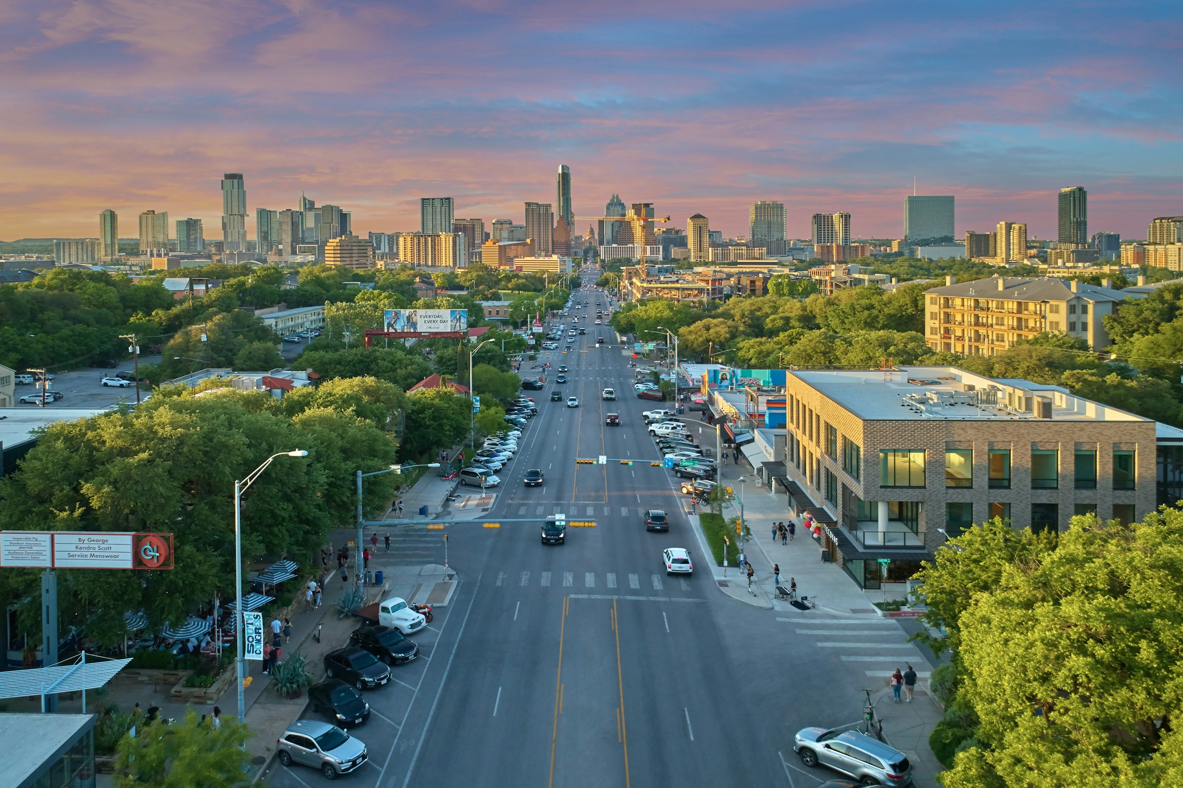
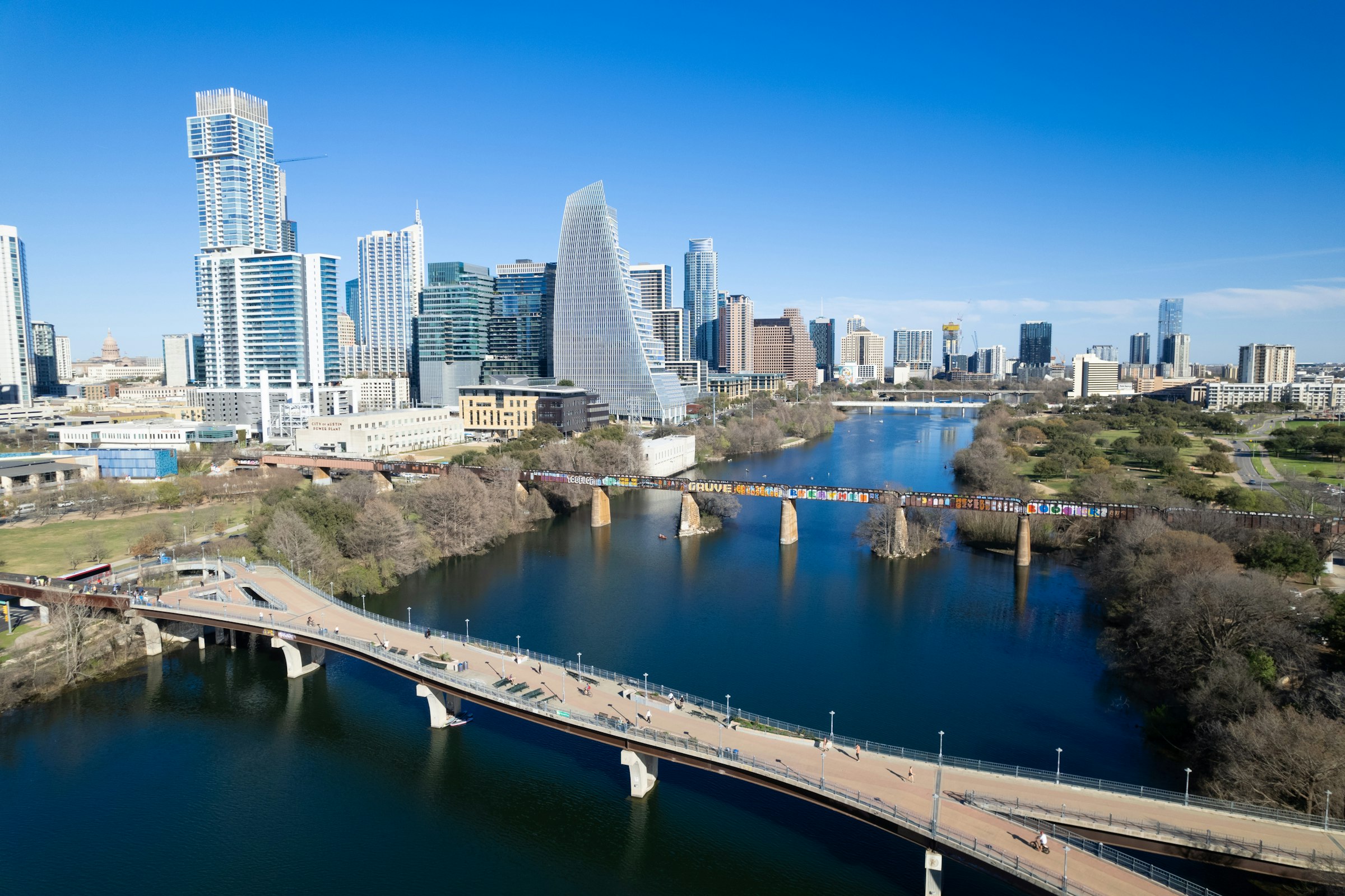
Austin, USA The Sunday before Presidents' Day, 14 February in 2027 Founded 1992
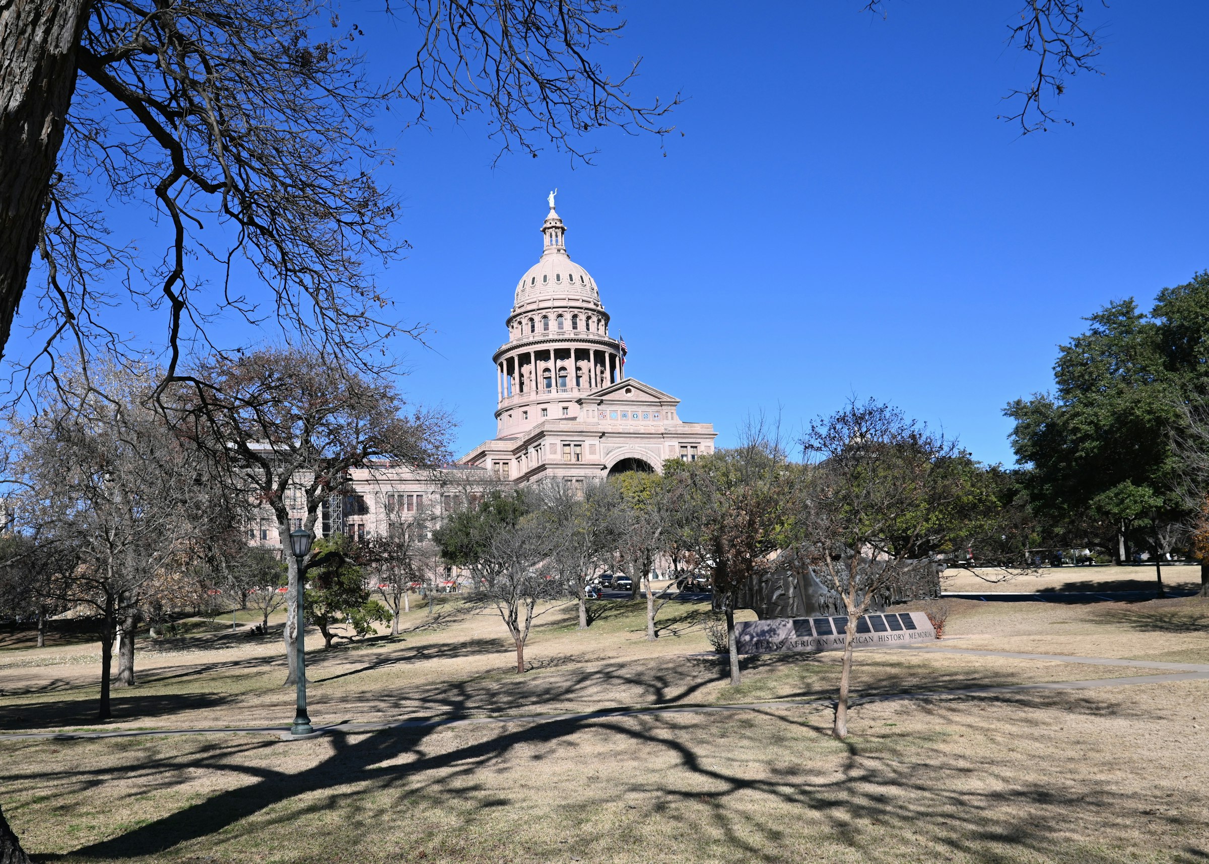
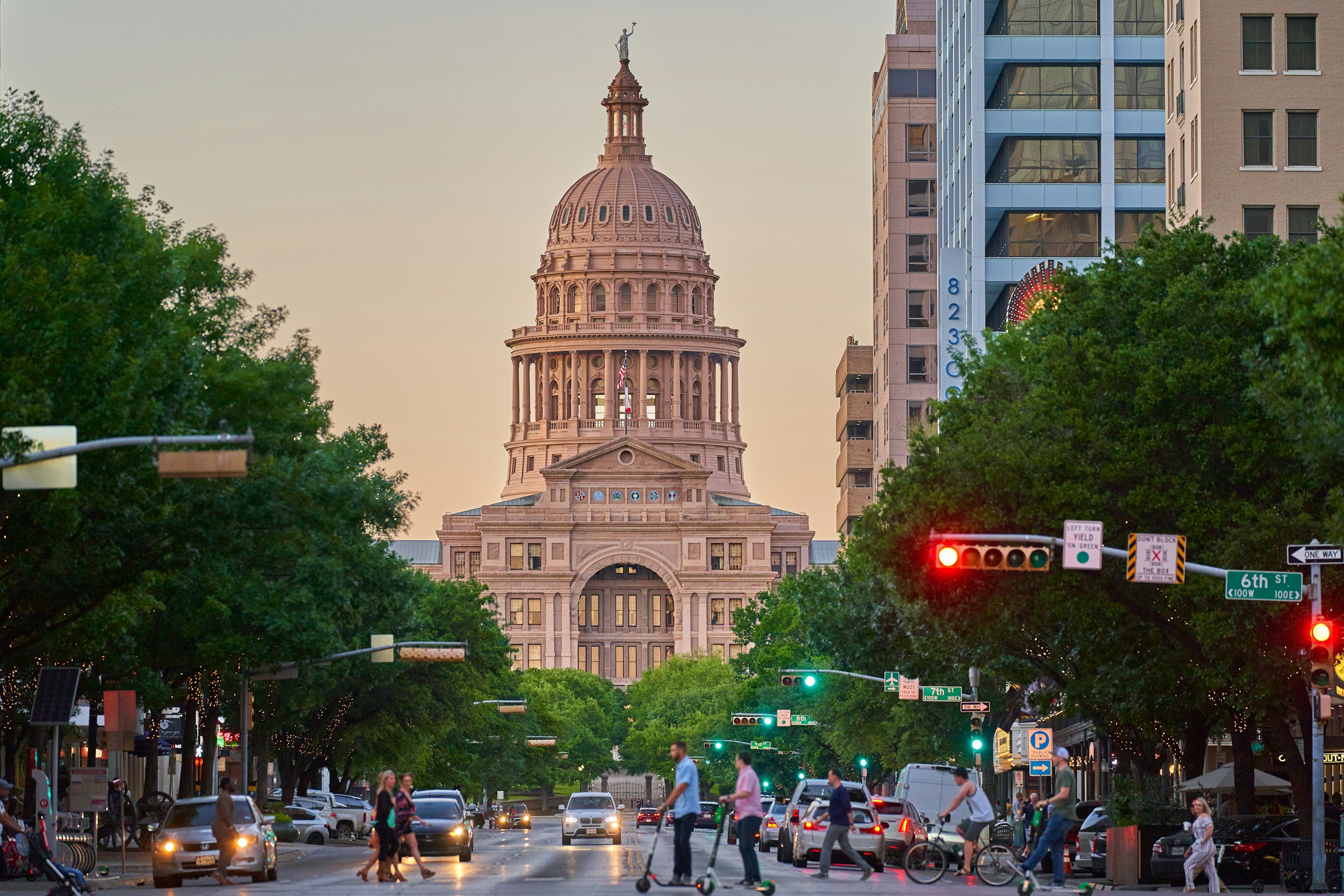
A February marathon from the river up South Congress and out through the university and East Austin, finishing on Congress below the Capitol.
Marathon Course · every marathon course, measured the same way
Austin Marathon
A February marathon from the river up South Congress and out through the university and East Austin, finishing on Congress below the Capitol. Congress Avenue → Congress Avenue at 9th Street, below the Capitol, Austin, Texas, USA.
Elevation · measured on the organiser's course file · USGS NED 10 m · smoothed 100 m 132–208 m
—
0.08.516.925.433.842.3
kmmi — elev — grade — hover or drag the profile
The first 5.6 km climb 65 m, up South Congress to the high point near Ben White Boulevard, 208 m. The steepest climbing kilometre is the first of those, up from the river, 28 m. The steepest descending one comes soon after the turn, down South 1st Street, 35 m. The lowest point is by the lake on Cesar Chavez Street, 132 m at about 11.0 km.
From there the course climbs again to the university, and rolls through Hyde Park and East Austin before a flatter run back along the river. The last kilometre climbs 20 m, and the finish is 12 m higher than the start. Add up the energy cost of every gradient and, for a three-hour runner, the course comes out about 1.4 min slower than a flat 42.195 km (0.79 %).
Take it with you
Course GPX Organiser's course map
The GPX is ours: our resampled line, a point every 25 m, carrying USGS NED 10 m elevation rather than the GPS noise a watch file usually holds.
USGS NED 10 m, measured on the organiser's course file, smoothed 100 m · marathoncourse.com/marathons/austin/ · checked 2026-10-23
200020102020
Pace is derived from the certified distance. Terrain-adjusted figures come from the same model that ranks every course on this site.
Men’s course record
2:13:18
Joey Whelan · 2026
Women’s course record
2:33:28
Kellyn Taylor · 2026
The morning, hour by hour
Cut-offs
The organiser's 2026 times. The 2027 schedule has the same waves; the wheelchair and elite starts aren't set yet. You have seven hours, about 16 minutes a mile. Every marathoner has to start in corrals A to D, because of the cut-off at the split: reach mile 12.3 by 10:35am to stay on the marathon course. The organiser gives the finish closing at 2:18pm on one page and 2:20pm on another.
Race-day mean temperature, 1996-2025. Lime marks the hottest edition; the coldest and wettest carry a label only, so the colour still means one thing.
Yes, for a city marathon. It climbs 333 m in all, and of the 29 courses compared here only Big Sur climbs more. Two-thirds of it comes in the first half.
USGS 10 m elevation model, sampled every 25 m, smoothed over 100 m.
The first 5.6 km, up South Congress from the river to the high point near Ben White Boulevard. The course climbs again from the lake to the university, and the last mile has a short, steep rise up Red River and 11th Street.
Measured profile; street names from OpenStreetMap.
When the field fills, or at 3:00pm at the expo the day before the race. The marathon is capped at 10,000.
Organiser FAQ.
Only if you bought the refundable entry, which pays back 75 % until 60 days before the race. Otherwise there are no refunds, deferrals or transfers.
Organiser registration changes page.
Seven hours, about 16 minutes a mile. You also have to reach the split at mile 12.3 by 10:35am to stay on the marathon course.
Organiser course page, 2026.
Yes. Both start on Congress Avenue at 7:00am, with the half's later waves following until about 8:05am, and they share the course for the first 12 miles, until the half turns back downtown at San Antonio Street.
Organiser turn-by-turn directions.
At the expo at the Palmer Events Center on Barton Springs Road, on the Friday or Saturday before the race. There's no pickup on race morning.
Organiser packet pickup page, 2027.
Yes, at 7th Street and Colorado from 5:30am. Only the clear bags the race provides are accepted.
Organiser race-day information, 2026.
Park downtown, where Sunday street meters are free, and allow for Congress being closed to cars. CapMetro buses and trains run too.
Organiser transportation page.
Yes, for finishing times from 3:00 to 6:00. Half runners can run with them as far as the split.
Organiser pacer page, 2026.
7,277 finished the marathon in 2026, up from 5,781 in 2025 and 4,047 in 2024. The half is twice the size: 14,542 finished it in 2026.
Organiser figures for the 2026 edition.
About 10.6 °C during a typical race: that's the median across 29 years, which have run from 0.8 °C to 21.6 °C. 2 of the 29 were wet.
ERA5 reanalysis for the race date, 1996-2025.
Yes. The course is certified by USATF, as the B.A.A. requires, and the finish is 12 m higher than the start, so no time is added.
Net drop +12 m from this site's course line; 2027 adjustment None. Certification certified: Certified by USATF (TX18301LAB) and a Boston qualifier.
It comes from USGS NED 10 m, sampled every 25 m along the course line and smoothed over 100 m. The raw-to-smoothed ratio here is 1.18. Around 1.3 means the model is reading the ground, not rooftops; above about 2.0 the total climb carries real noise, and the net change is the sturdier number.
0 missing samples · 6 bridge spans corrected.
| Fact | Source | Verified |
|---|---|---|
| Course line | The organiser's GPX, labelled 2020; its streets match the 2025 turn-by-turn directions in order, and it measures 42.39 km, 0.5 % long | 2026-10-23 |
| Elevation | USGS NED 10 m via OpenTopoData; the Congress Avenue and South 1st Street bridges interpolated between their shores | 2026-10-23 |
| Race-day weather | ERA5 via Open-Meteo archive, 7:00 to 13:00 on race day, 1996 to 2025, without 2021 | 2026-10-23 |
| Course records | Organiser race report, February 2026 | 2026-10-23 |
| Field size | Finishers from Athlinks and MyChipTime, 2024 to 2026 | 2026-10-23 |
| Race date, start and schedule | Organiser schedule and start-corrals pages, 2026 and 2027 | 2026-10-23 |
| Cut-off and aid | Organiser course and FAQ pages | 2026-10-23 |
| Entry | Organiser registration, 2027 prices | 2026-10-23 |
| Refunds and changes | Organiser registration changes page | 2026-10-23 |
| Transport | Organiser transportation page | 2026-10-23 |
| Boston qualifying | USATF certificate TX18301LAB and the B.A.A. qualifying rules | 2026-10-23 |
| History and timeline | Organiser news posts and history, race reports | 2026-10-23 |
| Steepest-kilometre place names | OpenStreetMap via Nominatim reverse geocoding (ODbL) | 2026-10-23 |
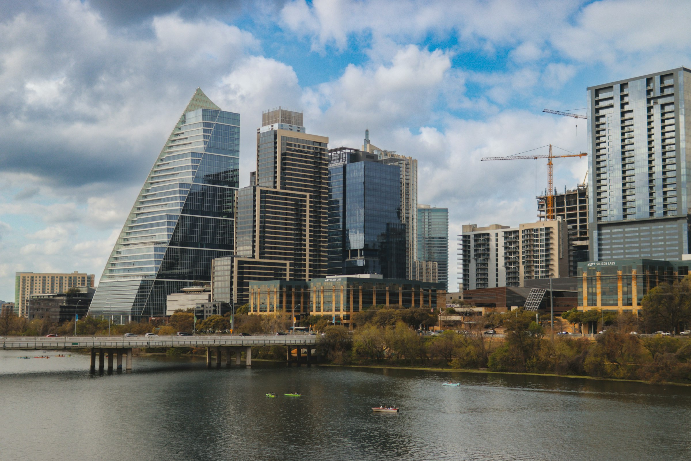
| Photography | Unsplash: Mitchell Kmetz (the Congress Avenue Bridge), Justin Wallace (South Congress; Congress Avenue and the Capitol), Drone Doggy (Lady Bird Lake), Dennis Lamberth (the Capitol), Daniel Romero (downtown and the lake) | 2026-10-23 |
Until the Austin Marathon · 14 Feb 2027
— days
— hrs— min— sec
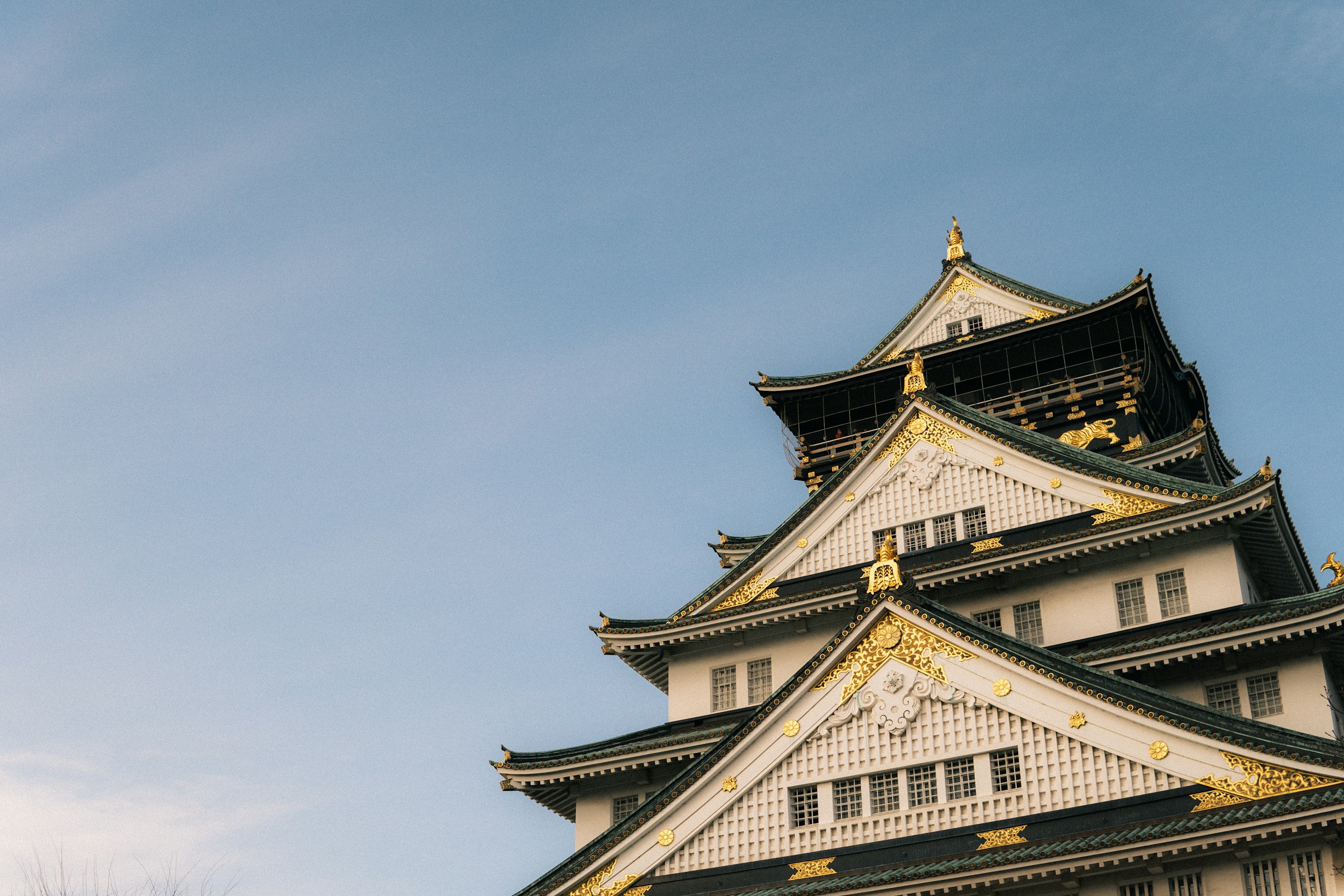
Osaka, Japan · 28 Feb 2027
Down Midosuji to the docks and back, with one short climb onto the plateau before the castle.
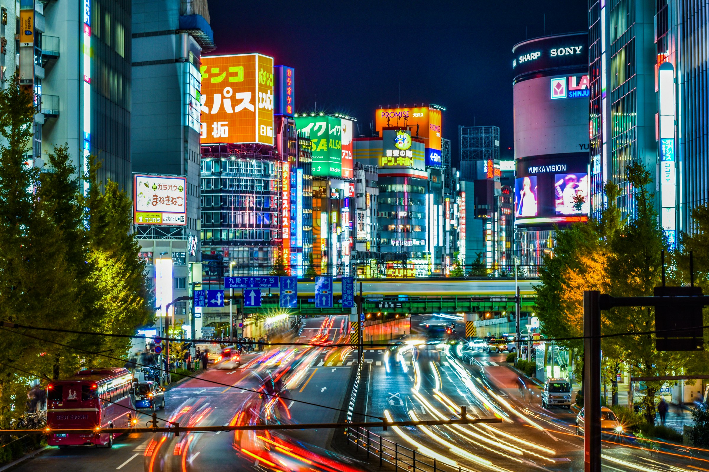
Tokyo, Japan · 7 Mar 2027
Down off the Shinjuku plateau, out to Asakusa and back through Ginza to a finish by the Imperial Palace.
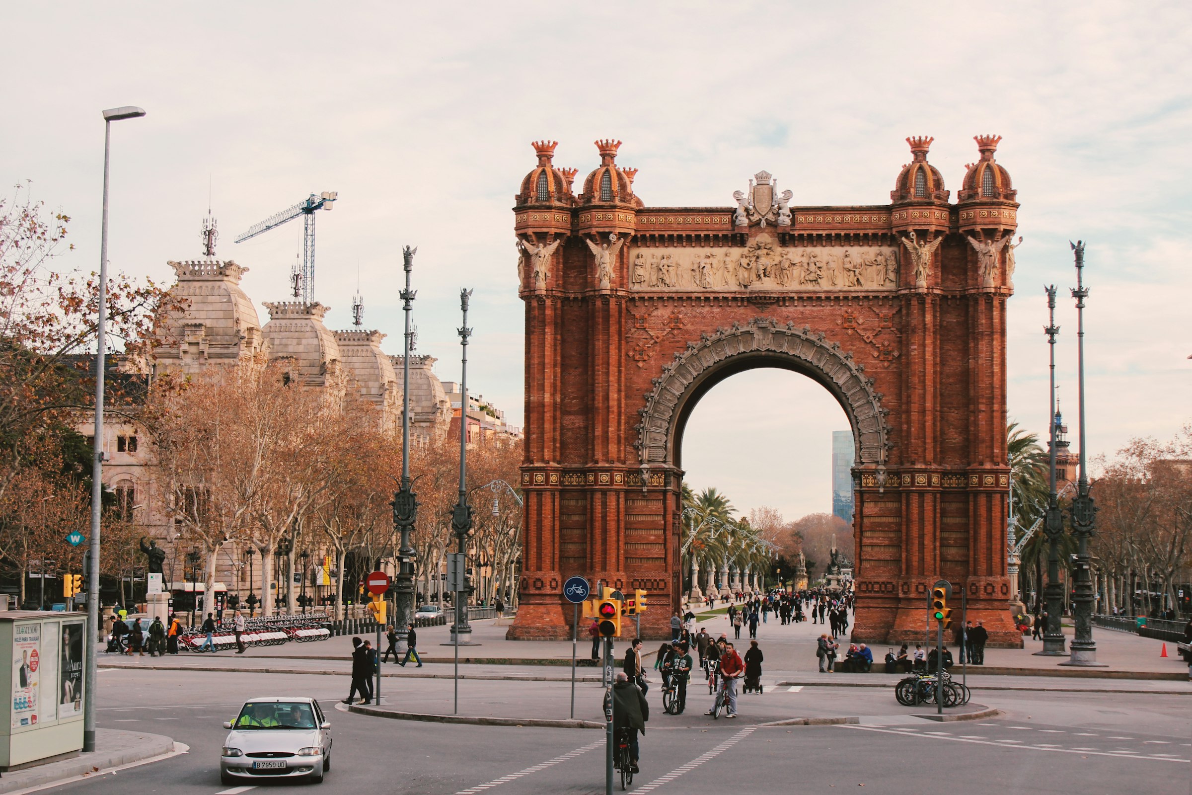
Barcelona, Spain · 14 Mar 2027
Through the Eixample past three Gaudí buildings, down to the harbour and along the sea, and back up to the Arc de Triomf.